R7927 : R663, Galbally
taken 6 years ago, near to Galbally, Co Limerick, Ireland
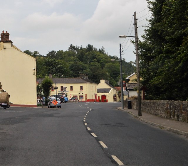
R663, Galbally
The R663 runs 26km from Garyspillane to Bansha along the Glen of Aherlow.
See other images of R663 Road
See other images of R663 Road
![Creative Commons Licence [Some Rights Reserved]](https://s1.geograph.org.uk/img/somerights20.gif)
|
· Find out How to reuse this image ·
Share:
|
|||||
| Start a discussion on R7927 | Suggest an update to this image | Contact the contributor | |||
Loading map... (JavaScript required)
- Grid Square
- R7927, 6 images (more nearby
 )
)
- Photographer
- N Chadwick (find more nearby)
- Date Taken
- Friday, 27 July, 2018 (more nearby)
- Submitted
- Tuesday, 25 September, 2018
- Geographical Context
- Subject Location
-
Irish:
 R 799 276 [100m precision]
WGS84: 52:24.0490N 8:17.6915W - Camera Location
-
Irish: R 799 276
- View Direction
- North-northwest (about 337 degrees)
This page has been viewed about 30 times.
View this location:
KML (Google Earth) ·
Google Maps ·
Bing Maps ·
Geograph Coverage Map ·
More Links for this image
·
Bing Maps ·
Geograph Coverage Map ·
More Links for this image