V5788 : N70 road at Gleesk, Kells, near Cahirciveen, Co Kerry
taken 6 years ago, 3 km from Kells, Co Kerry, Ireland
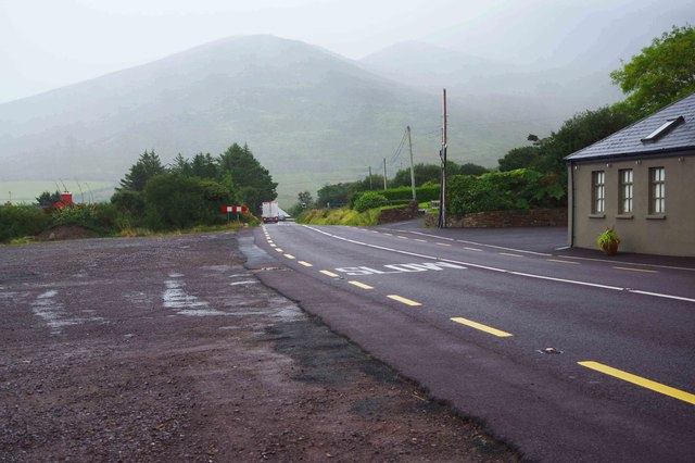
N70 road at Gleesk, Kells, near Cahirciveen, Co Kerry
On a misty day the N70 is seen near Caitin's Pub heading in the direction of Killorglin.
![Creative Commons Licence [Some Rights Reserved]](https://s1.geograph.org.uk/img/somerights20.gif)
|
· Find out How to reuse this image ·
Share:
|
|||||
| Start a discussion on V5788 | Suggest an update to this image | Contact the contributor | |||
Loading map... (JavaScript required)
- Grid Square
- V5788, 9 images (more nearby
 )
)
- Photographer
- P L Chadwick (find more nearby)
- Date Taken
- Monday, 17 September, 2018 (more nearby)
- Submitted
- Monday, 8 October, 2018
- Geographical Context
- Subject Location
-
Irish:
 V 575 887 [100m precision]
WGS84: 52:1.9710N 10:4.6223W - Camera Location
-
Irish: V 574 887
- View Direction
- East-southeast (about 112 degrees)
Other Tags
This page has been viewed about 22 times.
View this location:
KML (Google Earth) ·
Google Maps ·
Bing Maps ·
Geograph Coverage Map ·
More Links for this image
·
Bing Maps ·
Geograph Coverage Map ·
More Links for this image