Q8451 : Keane's Bar
taken 6 years ago, near to Carrigaholt, Co Clare, Ireland
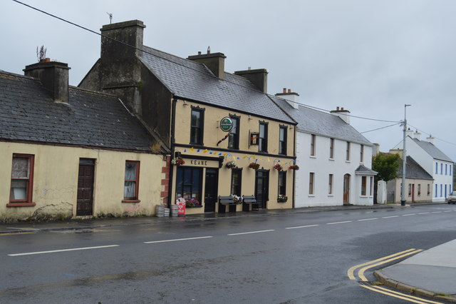
Keane's Bar
Carrigaholt (Irish: Carraig an Chabhaltaigh, meaning "Rock of the Fleet") is a small fishing village in County Clare, It lies at the mouth of the River Moyarta. The village is the terminus of the R488 road. Carrigahilt Castle is on the edge of the village.
See other images of Carrigaholt
See other images of Carrigaholt
![Creative Commons Licence [Some Rights Reserved]](https://s1.geograph.org.uk/img/somerights20.gif)
|
· Find out How to reuse this image ·
Share:
|
|||||
| Start a discussion on Q8451 | Suggest an update to this image | Contact the contributor | |||
Loading map... (JavaScript required)
- Grid Square
- Q8451, 96 images (more nearby
 )
)
- Photographer
- N Chadwick (find more nearby)
- Date Taken
- Tuesday, 31 July, 2018 (more nearby)
- Submitted
- Tuesday, 9 October, 2018
- Geographical Context
- Subject Location
-
Irish:
 Q 842 516 [100m precision]
WGS84: 52:36.2441N 9:42.5892W - Camera Location
-
Irish: Q 842 516
- View Direction
- North-northwest (about 337 degrees)
This page has been viewed about 20 times.
View this location:
KML (Google Earth) ·
Google Maps ·
Bing Maps ·
Geograph Coverage Map ·
More Links for this image
·
Bing Maps ·
Geograph Coverage Map ·
More Links for this image