J3374 : Belfast Water Works access cover
taken 5 years ago, near to Belfast, Co Antrim, Northern Ireland
This is 1 of 64 images, with title starting with Belfast in this square
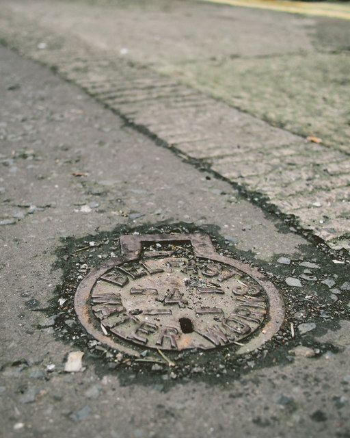
Belfast Water Works access cover
Another Belfast Water Works access cover, this time on College Street Mews and featuring the number 4.
Manhole covers, foundry products etc, Northern Ireland
A series of photographs showing manhole covers, fire hydrants, gratings, foundry products, foundry plaques and inscriptions etc, in Northern Ireland.
![Creative Commons Licence [Some Rights Reserved]](https://s1.geograph.org.uk/img/somerights20.gif)
|
· Find out How to reuse this image ·
Share:
|
|||||
|
There is 1 post in a
discussion on J3374 (preview on the left) |
Suggest an update to this image | Contact the contributor | |||
Loading map... (JavaScript required)
- Grid Square
- J3374, 3632 images (more nearby
 )
)
- Photographer
- Rossographer (find more nearby)
- Date Taken
- Monday, 21 January, 2019 (more nearby)
- Submitted
- Tuesday, 22 January, 2019
- Geographical Context
- Place (from Tags)
- Primary Subject of Photo
- Subject Location
-
Irish:
 J 336 741 [100m precision]
WGS84: 54:35.8745N 5:55.9697W - Camera Location
-
Irish: J 336 741
- View Direction
- South-southwest (about 202 degrees)
Other Tags
Image Type (about):
close look
This page has been viewed about 49 times.
View this location:
KML (Google Earth) ·
Google Maps ·
Bing Maps ·
Geograph Coverage Map ·
More Links for this image
·
Bing Maps ·
Geograph Coverage Map ·
More Links for this image