W6555 : R600
taken 6 years ago, near to Belgooly, Co Cork, Ireland
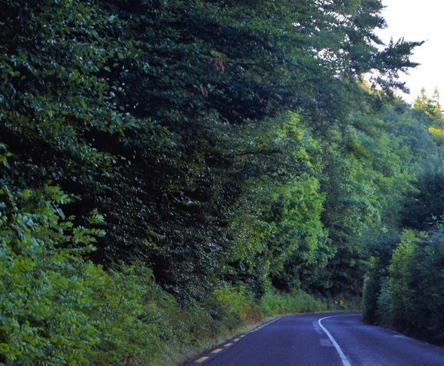
R600
The R600 road is an Irish regional road in County Cork. East to west, It runs from the N27 at Cork Airport to Clonakilty, passing through Belgooly, Kinsale, Ballinspittle and Timoleague.
See other images of The R600 Road in Ireland
See other images of The R600 Road in Ireland
![Creative Commons Licence [Some Rights Reserved]](https://s1.geograph.org.uk/img/somerights20.gif)
|
· Find out How to reuse this image ·
Share:
|
|||||
| Start a discussion on W6555 | Suggest an update to this image | Contact the contributor | |||
Loading map... (JavaScript required)
- Grid Square
- W6555, 2 images (more nearby
 )
)
- Photographer
- N Chadwick (find more nearby)
- Date Taken
- Saturday, 28 July, 2018 (more nearby)
- Submitted
- Saturday, 2 February, 2019
- Geographical Context
- Subject Location
-
Irish:
 W 659 557 [100m precision]
WGS84: 51:45.1960N 8:29.6624W - Camera Location
-
Irish: W 659 557
- View Direction
- SOUTH (about 180 degrees)
This page has been viewed about 27 times.
View this location:
KML (Google Earth) ·
Google Maps ·
Bing Maps ·
Geograph Coverage Map ·
More Links for this image
·
Bing Maps ·
Geograph Coverage Map ·
More Links for this image