C0100 : The Finn valley from the south
taken 16 years ago, 3 km from Cloghan, Co Donegal, Ireland
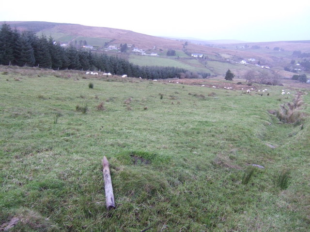
The Finn valley from the south
Forest, grazing land and moorland. The community of Murty's Town is strung out along the R252 in the next square north.
![Creative Commons Licence [Some Rights Reserved]](https://s1.geograph.org.uk/img/somerights20.gif)
|
· Find out How to reuse this image ·
Share:
|
|||||
| Start a discussion on C0100 | Suggest an update to this image | Contact the contributor | |||
Loading map... (JavaScript required)
- Grid Square
- C0100 (more nearby
 )
)
- Photographer
- Jonathan Billinger (find more nearby)
- Date Taken
- Tuesday, 13 November, 2007 (more nearby)
- Submitted
- Wednesday, 14 November, 2007
- Category
- Countryside (more nearby)
- Subject Location
-
Irish:
 C 015 005 [100m precision]
WGS84: 54:51.1411N 7:58.5598W - Camera Location
-
Irish: C 015 002
- View Direction
- NORTH (about 0 degrees)
This page has been viewed about 57 times.
View this location:
KML (Google Earth) ·
Google Maps ·
Bing Maps ·
Geograph Coverage Map ·
More Links for this image
·
Bing Maps ·
Geograph Coverage Map ·
More Links for this image