H9121 : Farm buildings on the Cullyhanna Road
taken 5 years ago, near to Cullyhanna, Co Armagh, Northern Ireland
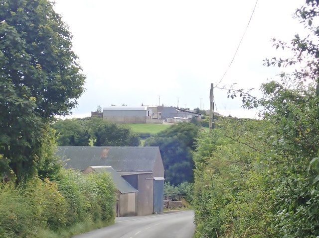
Farm buildings on the Cullyhanna Road
This section of the road is also known as the Skerriff Road.
![Creative Commons Licence [Some Rights Reserved]](https://s1.geograph.org.uk/img/somerights20.gif)
|
· Find out How to reuse this image ·
Share:
|
|||||
| Start a discussion on H9121 | Suggest an update to this image | Contact the contributor | |||
Loading map... (JavaScript required)
- Grid Square
- H9121, 6 images (more nearby
 )
)
- Photographer
- Eric Jones (find more nearby)
- Date Taken
- Thursday, 8 August, 2019 (more nearby)
- Submitted
- Saturday, 10 August, 2019
- Geographical Context
- Subject Location
-
Irish:
 H 915 219 [100m precision]
WGS84: 54:8.2817N 6:35.9643W - Camera Location
-
Irish: H 915 219
- View Direction
- East-southeast (about 112 degrees)
This page has been viewed about 31 times.
View this location:
KML (Google Earth) ·
Google Maps ·
Bing Maps ·
Geograph Coverage Map ·
More Links for this image
·
Bing Maps ·
Geograph Coverage Map ·
More Links for this image