V9597 : Bend in the N22, Dromadeesirt
taken 5 years ago, 3 km from Ballyhar, Co Kerry, Ireland
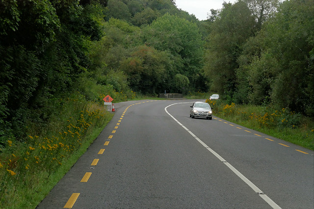
Bend in the N22, Dromadeesirt
The N22 is a major road in southwest Ireland, running for 116 km between Tralee and Cork, passing through counties Kerry and Cork. Since completion of the Tralee bypass in August 2013, the route has begun south of Tralee at the Camp Roundabout, end-point too of the N21 and N70.
See other images of Irish National Primary Road N22
See other images of Irish National Primary Road N22
![Creative Commons Licence [Some Rights Reserved]](https://s1.geograph.org.uk/img/somerights20.gif)
|
· Find out How to reuse this image ·
Share:
|
|||||
| Start a discussion on V9597 | Suggest an update to this image | Contact the contributor | |||
Loading map... (JavaScript required)
- Grid Square
- V9597, 2 images (more nearby
 )
)
- Photographer
- David Dixon (find more nearby)
- Date Taken
- Tuesday, 13 August, 2019 (more nearby)
- Submitted
- Saturday, 2 November, 2019
- Geographical Context
- Camera (from Tags)
- Road (from Tags)
- Subject Location
-
Irish:
 V 954 977 [100m precision]
WGS84: 52:7.3123N 9:31.6663W - Camera Location
-
Irish: V 955 977
- View Direction
- West-southwest (about 247 degrees)
Other Tags
This page has been viewed about 29 times.
View this location:
KML (Google Earth) ·
Google Maps ·
Bing Maps ·
Geograph Coverage Map ·
More Links for this image
·
Bing Maps ·
Geograph Coverage Map ·
More Links for this image