Q8011 : N86 Westbound, near Tonevane Crossroads
taken 5 years ago, near to Blennerville, Co Kerry, Ireland
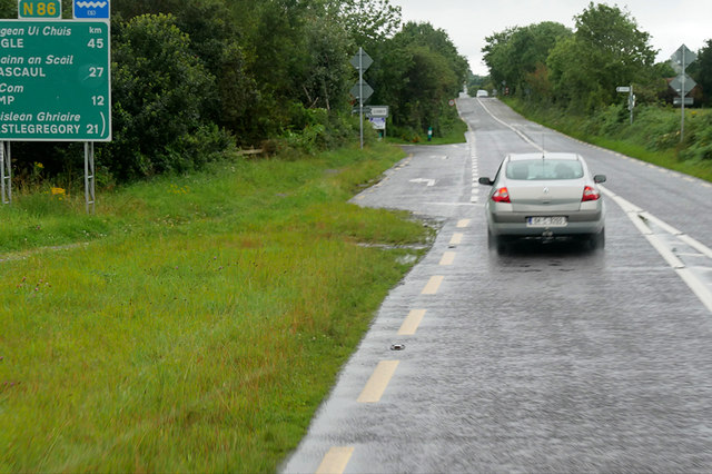
N86 Westbound, near Tonevane Crossroads
The N86 road is a national secondary road in County Kerry. It runs for 50 km from Tralee (Castlemaine Road Roundabout on the N22/N69 Tralee Bypass) to Dingle. It is single carriageway throughout but in recent years, there have been significant improvements to certain stretches of the road.
See other images of Irish National Secondary Road N86
See other images of Irish National Secondary Road N86
![Creative Commons Licence [Some Rights Reserved]](https://s1.geograph.org.uk/img/somerights20.gif)
|
· Find out How to reuse this image ·
Share:
|
|||||
| Start a discussion on Q8011 | Suggest an update to this image | Contact the contributor | |||
Loading map... (JavaScript required)
- Grid Square
- Q8011, 2 images (more nearby
 )
)
- Photographer
- David Dixon (find more nearby)
- Date Taken
- Wednesday, 14 August, 2019 (more nearby)
- Submitted
- Monday, 4 November, 2019
- Geographical Context
- Camera (from Tags)
- Road (from Tags)
- Subject Location
-
Irish:
 Q 806 118 [100m precision]
WGS84: 52:14.7751N 9:44.9158W - Camera Location
-
Irish: Q 807 119
- View Direction
- WEST (about 270 degrees)
Other Tags
This page has been viewed about 31 times.
View this location:
KML (Google Earth) ·
Google Maps ·
Bing Maps ·
Geograph Coverage Map ·
More Links for this image
·
Bing Maps ·
Geograph Coverage Map ·
More Links for this image