Q3404 : Slea Head Drive, Ballyferriter West
taken 5 years ago, near to Ballyferriter, Co Kerry, Ireland
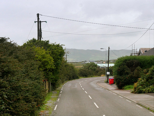
Slea Head Drive, Ballyferriter West
Ballyferriter (Irish: Baile an Fheirtéaraigh, meaning "Ferriter's townland") is a Gaeltacht (primarily Irish-speaking) village in the west of the Corca Dhuibhne (Dingle) peninsula; according to the 2002 census, about 75% of the town's population speak the Irish language on a daily basis. The village, which is named after the Norman-Irish Feiritéar family who settled in Ard na Caithne in the late medieval period, lies at the base of Croaghmarhin hill near Cuan Ard na Caithne (formerly also called Smerwick harbour) on the Dingle peninsula, on the R559 Slea Head Drive which loops around the west of the peninsula, beginning and ending in Dingle Town.
The Slea Head Drive :: Q4300
The Slea Head Drive (Slí Cheann Sléibhe) is a circular route that begins and ends in Dingle. It takes in a large number of attractions and stunning views on the western end of the Dingle Peninsula and forms part of the Wild Atlantic Way. Drivers are strongly advised to travel clockwise in order to avoid meeting the large tour buses that frequent the route during the summer. Part of the Slea Head cliff road is very narrow and single lane only.
![Creative Commons Licence [Some Rights Reserved]](https://s1.geograph.org.uk/img/somerights20.gif)
|
· Find out How to reuse this image ·
Share:
|
|||||
| Start a discussion on Q3404 | Suggest an update to this image | Contact the contributor | |||
Loading map... (JavaScript required)
- Grid Square
- Q3404, 4 images (more nearby
 )
)
- Photographer
- David Dixon (find more nearby)
- Date Taken
- Wednesday, 14 August, 2019 (more nearby)
- Submitted
- Friday, 8 November, 2019
- Geographical Context
- Camera (from Tags)
- Road (from Tags)
- Subject Location
-
Irish:
 Q 347 041 [100m precision]
WGS84: 52:9.9102N 10:24.9699W - Camera Location
-
Irish: Q 346 041
- View Direction
- East-northeast (about 67 degrees)
Other Tags
This page has been viewed about 48 times.
View this location:
KML (Google Earth) ·
Google Maps ·
Bing Maps ·
Geograph Coverage Map ·
More Links for this image
·
Bing Maps ·
Geograph Coverage Map ·
More Links for this image