Q3903 : Slea Head Drive, Lateevemanagh
taken 5 years ago, 3 km from Murreagh, Co Kerry, Ireland
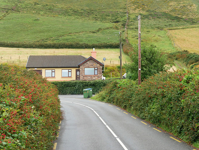
Slea Head Drive, Lateevemanagh
The Slea Head Drive (Slí Cheann Sléibhe) is a circular route that begins and ends in Dingle. It takes in a large number of attractions and stunning views on the western end of the Dingle Peninsula and forms part of the Wild Atlantic Way. Drivers are strongly advised to travel clockwise in order to avoid meeting the large tour buses that frequent the route during the summer. Part of the Slea Head cliff road is very narrow and single lane only.
See other images of The Slea Head Drive
See other images of The Slea Head Drive
![Creative Commons Licence [Some Rights Reserved]](https://s1.geograph.org.uk/img/somerights20.gif)
|
· Find out How to reuse this image ·
Share:
|
|||||
| Start a discussion on Q3903 | Suggest an update to this image | Contact the contributor | |||
Loading map... (JavaScript required)
- Grid Square
- Q3903, 4 images (more nearby
 )
)
- Photographer
- David Dixon (find more nearby)
- Date Taken
- Wednesday, 14 August, 2019 (more nearby)
- Submitted
- Friday, 8 November, 2019
- Geographical Context
- Camera (from Tags)
- Road (from Tags)
- Subject Location
-
Irish:
 Q 393 035 [100m precision]
WGS84: 52:9.6682N 10:20.9316W - Camera Location
-
Irish: Q 392 036
- View Direction
- East-southeast (about 112 degrees)
Other Tags
This page has been viewed about 39 times.
View this location:
KML (Google Earth) ·
Google Maps ·
Bing Maps ·
Geograph Coverage Map ·
More Links for this image
·
Bing Maps ·
Geograph Coverage Map ·
More Links for this image