R1426 : N21 East of Abbeyfeale
taken 5 years ago, 3 km from Abbeyfeale, Co Limerick, Ireland
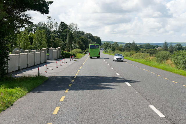
N21 East of Abbeyfeale
The N21 road is a national primary road in Ireland. The route runs for 84 km from the M20 outside Limerick to Tralee in County Kerry, running through the towns of Abbeyfeale, Newcastlewest, Adare and the village of Templeglantine.
See other images of Irish National Primary Road N21
See other images of Irish National Primary Road N21
![Creative Commons Licence [Some Rights Reserved]](https://s1.geograph.org.uk/img/somerights20.gif)
|
· Find out How to reuse this image ·
Share:
|
|||||
| Start a discussion on R1426 | Suggest an update to this image | Contact the contributor | |||
Loading map... (JavaScript required)
- Grid Square
- R1426 (more nearby
 )
)
- Photographer
- David Dixon (find more nearby)
- Date Taken
- Monday, 12 August, 2019 (more nearby)
- Submitted
- Wednesday, 13 November, 2019
- Geographical Context
- Camera (from Tags)
- Road (from Tags)
- Subject Location
-
Irish:
 R 148 269 [100m precision]
WGS84: 52:23.2589N 9:15.0567W - Camera Location
-
Irish: R 149 269
- View Direction
- WEST (about 270 degrees)
Other Tags
This page has been viewed about 42 times.
View this location:
KML (Google Earth) ·
Google Maps ·
Bing Maps ·
Geograph Coverage Map ·
More Links for this image
·
Bing Maps ·
Geograph Coverage Map ·
More Links for this image