J3246 : Farm boundary below the Drumkeeragh Forest
taken 4 years ago, 4 km ESE of Finnis, Co Down, Northern Ireland
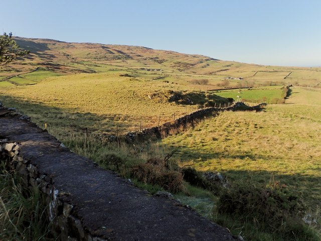
Farm boundary below the Drumkeeragh Forest
The farm boundary is reinforced by the placing of a wire fence on top of the wall. On lower ground a high hedge marks the boundary.
![Creative Commons Licence [Some Rights Reserved]](https://s1.geograph.org.uk/img/somerights20.gif)
|
· Find out How to reuse this image ·
Share:
|
|||||
| Start a discussion on J3246 | Suggest an update to this image | Contact the contributor | |||
Loading map... (JavaScript required)
- Grid Square
- J3246, 33 images (more nearby
 )
)
- Photographer
- Eric Jones (find more nearby)
- Date Taken
- Friday, 8 November, 2019 (more nearby)
- Submitted
- Monday, 25 November, 2019
- Geographical Context
- Subject Location
-
Irish:
 J 328 466 [100m precision]
WGS84: 54:21.0800N 5:57.4799W - Camera Location
-
Irish: J 328 466
- View Direction
- WEST (about 270 degrees)
This page has been viewed about 25 times.
View this location:
KML (Google Earth) ·
Google Maps ·
Bing Maps ·
Geograph Coverage Map ·
More Links for this image
·
Bing Maps ·
Geograph Coverage Map ·
More Links for this image