J3446 : Grazing land between the Mountain Road and Drumkeeragh Forest
taken 4 years ago, 4 km SW of The Spa, Co Down, Northern Ireland
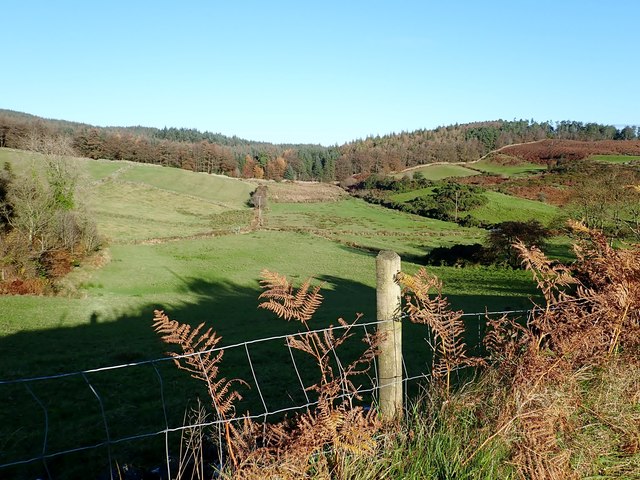
Grazing land between the Mountain Road and Drumkeeragh Forest
This land is used for the grazing of sheep.
![Creative Commons Licence [Some Rights Reserved]](https://s1.geograph.org.uk/img/somerights20.gif)
|
· Find out How to reuse this image ·
Share:
|
|||||
| Start a discussion on J3446 | Suggest an update to this image | Contact the contributor | |||
Loading map... (JavaScript required)
- Grid Square
- J3446, 29 images (more nearby
 )
)
- Photographer
- Eric Jones (find more nearby)
- Date Taken
- Friday, 8 November, 2019 (more nearby)
- Submitted
- Tuesday, 26 November, 2019
- Geographical Context
- Subject Location
-
Irish:
 J 341 462 [100m precision]
WGS84: 54:20.8334N 5:56.2924W - Camera Location
-
Irish: J 340 460
- View Direction
- NORTH (about 0 degrees)
This page has been viewed about 27 times.
View this location:
KML (Google Earth) ·
Google Maps ·
Bing Maps ·
Geograph Coverage Map ·
More Links for this image
·
Bing Maps ·
Geograph Coverage Map ·
More Links for this image