J1018 : Intake land on the lower slopes of Anglesey Mountain
taken 6 years ago, 4 km ENE of Flurrybridge, Co Armagh, Northern Ireland
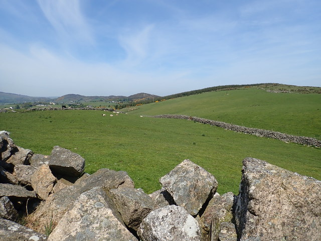
Intake land on the lower slopes of Anglesey Mountain
The image was taken from Larry Tam's Loanan. Anglesey Mountain and the hills to the north are part of the eastern quadrant of the Ring of Gullion.
![Creative Commons Licence [Some Rights Reserved]](https://s1.geograph.org.uk/img/somerights20.gif)
|
· Find out How to reuse this image ·
Share:
|
|||||
| Start a discussion on J1018 | Suggest an update to this image | Contact the contributor | |||
Loading map... (JavaScript required)
- Grid Square
- J1018, 28 images (more nearby
 )
)
- Photographer
- Eric Jones (find more nearby)
- Date Taken
- Saturday, 19 May, 2018 (more nearby)
- Submitted
- Tuesday, 18 February, 2020
- Geographical Context
- Subject Location
-
Irish:
 J 105 189 [100m precision]
WGS84: 54:6.4850N 6:18.6306W - Camera Location
-
Irish: J 105 189
- View Direction
- NORTH (about 0 degrees)
This page has been viewed about 24 times.
View this location:
KML (Google Earth) ·
Google Maps ·
Bing Maps ·
Geograph Coverage Map ·
More Links for this image
·
Bing Maps ·
Geograph Coverage Map ·
More Links for this image