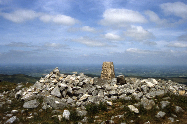
R8266 : On Keeper Hill, Silvermine Mountains - Summit trig point
taken 21 years ago, 3 km from Toor, Co Tipperary, Ireland
![Creative Commons Licence [Some Rights Reserved]](https://s1.geograph.org.uk/img/somerights20.gif)
|
· Find out How to reuse this image ·
Share:
|
|||||
| Start a discussion on R8266 | Suggest an update to this image | Contact the contributor | |||
Loading map... (JavaScript required)
- Grid Square
- R8266, 2 images (more nearby
 )
)
- Photographer
- Colin Park (find more nearby)
- Date Taken
- Wednesday, 25 June, 2003 (more nearby)
- Submitted
- Saturday, 22 February, 2020
- Geographical Context
- Primary Subject of Photo
- Subject Location
-
Irish:
 R 823 667 [100m precision]
WGS84: 52:45.0868N 8:15.6916W - Camera Location
-
Irish: R 823 666
- View Direction
- North-northeast (about 22 degrees)
This page has been viewed about 59 times.
View this location:
KML (Google Earth) ·
Google Maps ·
Bing Maps ·
Geograph Coverage Map ·
More Links for this image
·
Bing Maps ·
Geograph Coverage Map ·
More Links for this image