J2967 : Sandy Lane
taken 16 years ago, near to Ballyskeagh, Co Down, Northern Ireland
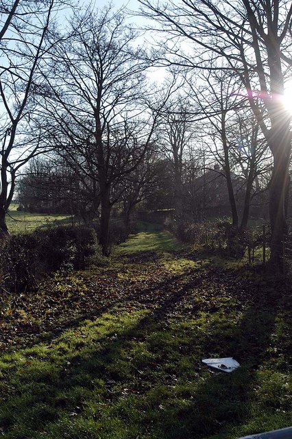
Sandy Lane
What looks like a farmers lane, is in fact, a closed lane.
Sandy Lane, at one time linked the Lagan Towpath to the Ballyskeagh Rd.
Sandy Lane, at one time linked the Lagan Towpath to the Ballyskeagh Rd.
![Creative Commons Licence [Some Rights Reserved]](https://s1.geograph.org.uk/img/somerights20.gif)
|
· Find out How to reuse this image ·
Share:
|
|||||
| Start a discussion on J2967 | Suggest an update to this image | Contact the contributor | |||
Loading map... (JavaScript required)
- Grid Square
- J2967, 85 images (more nearby
 )
)
- Photographer
- Wilson Adams (find more nearby)
- Date Taken
- Tuesday, 25 December, 2007 (more nearby)
- Submitted
- Tuesday, 25 December, 2007
- Category
- Lane (more nearby)
- Subject Location
-
Irish:
 J 293 673 [100m precision]
WGS84: 54:32.2942N 6:0.1004W - Camera Location
-
Irish: J 293 673
- View Direction
- East-southeast (about 112 degrees)
Image classification(about):
Geograph
This page has been viewed about 128 times.
View this location:
KML (Google Earth) ·
Google Maps ·
Bing Maps ·
Geograph Coverage Map ·
More Links for this image
·
Bing Maps ·
Geograph Coverage Map ·
More Links for this image