H1270 : Road at Drumawark
taken 16 years ago, 3 km from Pettigoe, Co Donegal, Ireland
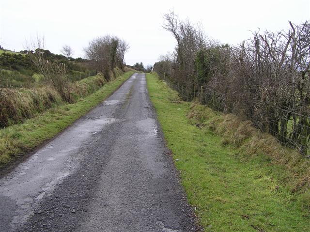
Road at Drumawark
Heading south to Drumawark and then to Gortinessy
![Creative Commons Licence [Some Rights Reserved]](https://s1.geograph.org.uk/img/somerights20.gif)
|
· Find out How to reuse this image ·
Share:
|
|||||
| Start a discussion on H1270 | Suggest an update to this image | Contact the contributor | |||
Loading map... (JavaScript required)
- Grid Square
- H1270 (more nearby
 )
)
- Photographer
- Kenneth Allen (find more nearby)
- Date Taken
- Saturday, 19 January, 2008 (more nearby)
- Submitted
- Sunday, 20 January, 2008
- Category
- Country road (more nearby)
- Subject Location
-
Irish:
 H 120 700 [100m precision]
WGS84: 54:34.6886N 7:48.9108W - Camera Location
-
Irish: H 120 701
- View Direction
- SOUTH (about 180 degrees)
This page has been viewed about 44 times.
View this location:
KML (Google Earth) ·
Google Maps ·
Bing Maps ·
Geograph Coverage Map ·
More Links for this image
·
Bing Maps ·
Geograph Coverage Map ·
More Links for this image