T1668 : Rathpierce Lower
taken 16 years ago, near to Ballyfad, Co Wexford, Ireland
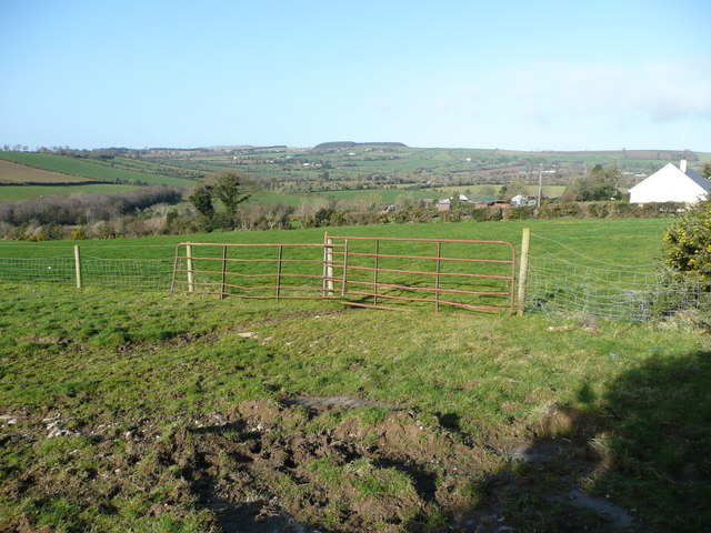
Rathpierce Lower
View west to the foothills of Croghan.
![Creative Commons Licence [Some Rights Reserved]](https://s1.geograph.org.uk/img/somerights20.gif)
|
· Find out How to reuse this image ·
Share:
|
|||||
| Start a discussion on T1668 | Suggest an update to this image | Contact the contributor | |||
Loading map... (JavaScript required)
- Grid Square
- T1668 (more nearby
 )
)
- Photographer
- Jonathan Billinger (find more nearby)
- Date Taken
- Tuesday, 26 February, 2008 (more nearby)
- Submitted
- Wednesday, 27 February, 2008
- Category
- Countryside (more nearby)
- Subject Location
-
Irish:
 T 165 685 [100m precision]
WGS84: 52:45.3427N 6:16.4673W - Camera Location
-
Irish: T 167 684
- View Direction
- West-northwest (about 292 degrees)
This page has been viewed about 55 times.
View this location:
KML (Google Earth) ·
Google Maps ·
Bing Maps ·
Geograph Coverage Map ·
More Links for this image
·
Bing Maps ·
Geograph Coverage Map ·
More Links for this image