T1069 : View west of The Gap
taken 16 years ago, 6 km WNW of Killinierin, Co Wexford, Ireland
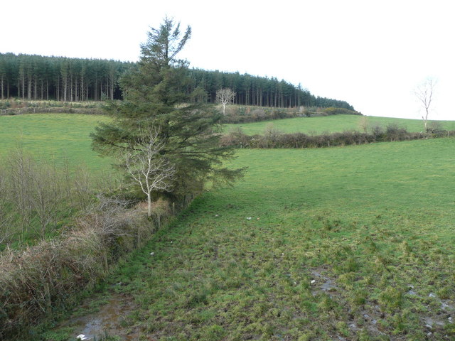
View west of The Gap
The woodland forms part of the forest clothing the north side of Annagh Hill.
View west of the car park of T1069 : The Gap.
View west of the car park of T1069 : The Gap.
![Creative Commons Licence [Some Rights Reserved]](https://s1.geograph.org.uk/img/somerights20.gif)
|
· Find out How to reuse this image ·
Share:
|
|||||
| Start a discussion on T1069 | Suggest an update to this image | Contact the contributor | |||
Loading map... (JavaScript required)
- Grid Square
- T1069, 2 images (more nearby
 )
)
- Photographer
- Jonathan Billinger (find more nearby)
- Date Taken
- Tuesday, 26 February, 2008 (more nearby)
- Submitted
- Wednesday, 27 February, 2008
- Category
- Field / woodland boundary (more nearby)
- Subject Location
-
Irish:
 T 105 690 [100m precision]
WGS84: 52:45.7038N 6:21.7774W - Camera Location
-
Irish: T 107 691
- View Direction
- West-southwest (about 247 degrees)
Image classification(about):
Geograph
This page has been viewed about 40 times.
View this location:
KML (Google Earth) ·
Google Maps ·
Bing Maps ·
Geograph Coverage Map ·
More Links for this image
·
Bing Maps ·
Geograph Coverage Map ·
More Links for this image