N9611 : Sheep pastures
taken 16 years ago, 3 km from Blessington, Co Wicklow, Ireland
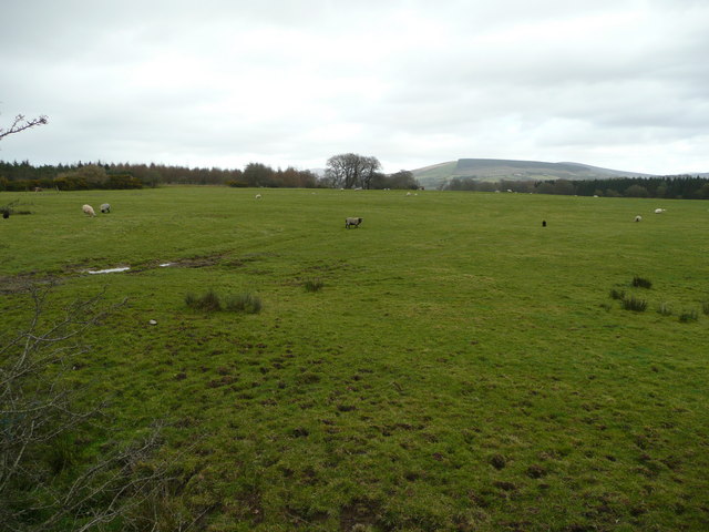
Sheep pastures
East of N81 near Blessington. In the distance is Black Hill, and unseen in between are two arms of the Pollaphuca Reservoir.
![Creative Commons Licence [Some Rights Reserved]](https://s1.geograph.org.uk/img/somerights20.gif)
|
· Find out How to reuse this image ·
Share:
|
|||||
| Start a discussion on N9611 | Suggest an update to this image | Contact the contributor | |||
Loading map... (JavaScript required)
- Grid Square
- N9611 (more nearby
 )
)
- Photographer
- Jonathan Billinger (find more nearby)
- Date Taken
- Tuesday, 26 February, 2008 (more nearby)
- Submitted
- Tuesday, 4 March, 2008
- Category
- Pasture land (more nearby)
- Subject Location
-
Irish:
 N 968 116 [100m precision]
WGS84: 53:8.8263N 6:33.1592W - Camera Location
-
Irish: N 966 118
- View Direction
- East-southeast (about 112 degrees)
This page has been viewed about 42 times.
View this location:
KML (Google Earth) ·
Google Maps ·
Bing Maps ·
Geograph Coverage Map ·
More Links for this image
·
Bing Maps ·
Geograph Coverage Map ·
More Links for this image