H0987 : Corgary Road, County Donegal
taken 16 years ago, 8 km SSW of Ballybofey, Co Donegal, Ireland
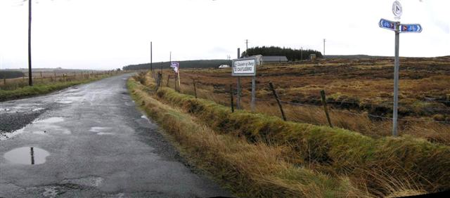
Corgary Road, County Donegal
Pictured at Meenbog and straight on leads to Castlederg in County Tyrone.
![Creative Commons Licence [Some Rights Reserved]](https://s1.geograph.org.uk/img/somerights20.gif)
|
· Find out How to reuse this image ·
Share:
|
|||||
| Start a discussion on H0987 | Suggest an update to this image | Contact the contributor | |||
Loading map... (JavaScript required)
- Grid Square
- H0987, 5 images (more nearby
 )
)
- Photographer
- Kenneth Allen (find more nearby)
- Date Taken
- Wednesday, 12 March, 2008 (more nearby)
- Submitted
- Thursday, 13 March, 2008
- Category
- Road scene (more nearby)
- Subject Location
-
Irish:
 H 097 878 [100m precision]
WGS84: 54:44.2854N 7:51.0095W - Camera Location
-
Irish: H 097 878
- View Direction
- Southeast (about 135 degrees)
This page has been viewed about 49 times.
View this location:
KML (Google Earth) ·
Google Maps ·
Bing Maps ·
Geograph Coverage Map ·
More Links for this image
·
Bing Maps ·
Geograph Coverage Map ·
More Links for this image