J4581 : Ballyrobert Road near Crawfordsburn
taken 16 years ago, near to Crawfordsburn, Co Down, Northern Ireland
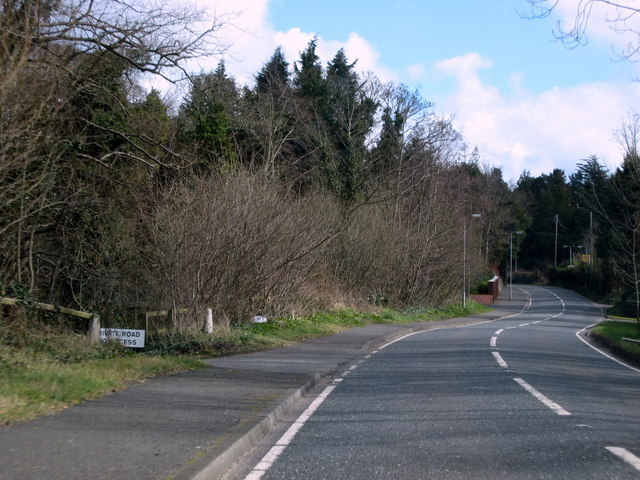
Ballyrobert Road near Crawfordsburn
Looking towards Crawfrdsburn.
![Creative Commons Licence [Some Rights Reserved]](https://s1.geograph.org.uk/img/somerights20.gif)
|
· Find out How to reuse this image ·
Share:
|
|||||
| Start a discussion on J4581 | Suggest an update to this image | Contact the contributor | |||
Loading map... (JavaScript required)
- Grid Square
- J4581, 101 images (more nearby
 )
)
- Photographer
- Rossographer (find more nearby)
- Date Taken
- Saturday, 22 March, 2008 (more nearby)
- Submitted
- Sunday, 23 March, 2008
- Category
- Road > Road (more nearby)
- Subject Location
-
Irish:
 J 457 811 [100m precision]
WGS84: 54:39.4497N 5:44.5554W - Camera Location
-
Irish: J 455 810
- View Direction
- East-northeast (about 67 degrees)
Image classification(about):
Geograph (Second Visitor for J4581)
This page has been viewed about 32 times.
View this location:
KML (Google Earth) ·
Google Maps ·
Bing Maps ·
Geograph Coverage Map ·
More Links for this image
·
Bing Maps ·
Geograph Coverage Map ·
More Links for this image