N4937 : Peat Bog
taken 16 years ago, 4 km SE of Rochfortbridge, Co Westmeath, Ireland
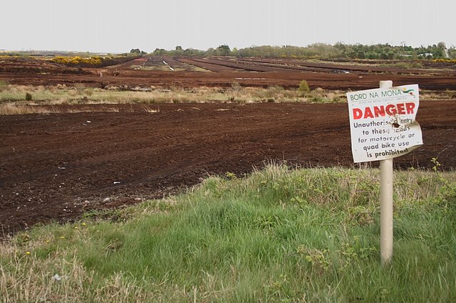
Peat Bog
Peat cutting area with warning signpost.
![Creative Commons Licence [Some Rights Reserved]](https://s1.geograph.org.uk/img/somerights20.gif)
|
· Find out How to reuse this image ·
Share:
|
|||||
| Start a discussion on N4937 | Suggest an update to this image | Contact the contributor | |||
Loading map... (JavaScript required)
- Grid Square
- N4937, 2 images (more nearby
 )
)
- Photographer
- kevin higgins (find more nearby)
- Date Taken
- Friday, 2 May, 2008 (more nearby)
- Submitted
- Saturday, 3 May, 2008
- Category
- Wetland > Peat bog (more nearby)
- Subject Location
-
Irish:
 N 499 377 [100m precision]
WGS84: 53:23.2728N 7:15.0189W - Camera Location
-
Irish: N 498 377
- View Direction
- East-northeast (about 67 degrees)
Image classification(about):
Geograph
This page has been viewed about 66 times.
View this location:
KML (Google Earth) ·
Google Maps ·
Bing Maps ·
Geograph Coverage Map ·
More Links for this image
·
Bing Maps ·
Geograph Coverage Map ·
More Links for this image