O0631 : Ditch and Playing Fields Near Cherrywood Avenue
taken 16 years ago, near to Clondalkin, Dublin, Ireland
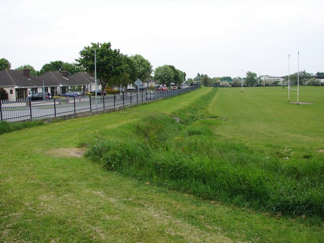
Ditch and Playing Fields Near Cherrywood Avenue
![Creative Commons Licence [Some Rights Reserved]](https://s1.geograph.org.uk/img/somerights20.gif)
|
· Find out How to reuse this image ·
Share:
|
|||||
| Start a discussion on O0631 | Suggest an update to this image | Contact the contributor | |||
Loading map... (JavaScript required)
- Grid Square
- O0631, 10 images (more nearby
 )
)
- Photographer
- Ian Paterson (find more nearby)
- Date Taken
- Wednesday, 21 May, 2008 (more nearby)
- Submitted
- Wednesday, 21 May, 2008
- Category
- Playing field (more nearby)
- Subject Location
-
Irish:
 O 064 311 [100m precision]
WGS84: 53:19.2311N 6:24.2083W - Camera Location
-
Irish: O 062 311
- View Direction
- East-northeast (about 67 degrees)
Image classification(about):
Geograph
This page has been viewed about 47 times.
View this location:
KML (Google Earth) ·
Google Maps ·
Bing Maps ·
Geograph Coverage Map ·
More Links for this image
·
Bing Maps ·
Geograph Coverage Map ·
More Links for this image