N3059 : Royal Canal 35th Lock at Ballynacarrigy, Co. Westmeath
taken 16 years ago, near to Ballynacarrigy, Co Westmeath, Ireland
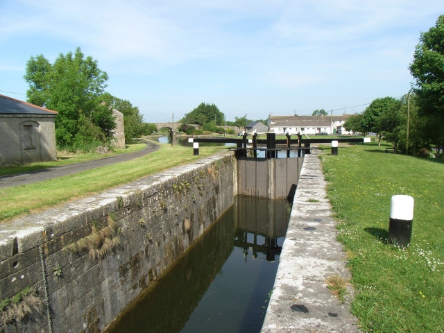
Royal Canal 35th Lock at Ballynacarrigy, Co. Westmeath
It's Ballinacarrigy on the OS Maps, but often Ballynacargy "on the ground".
![Creative Commons Licence [Some Rights Reserved]](https://s1.geograph.org.uk/img/somerights20.gif)
|
· Find out How to reuse this image ·
Share:
|
|||||
| Start a discussion on N3059 | Suggest an update to this image | Contact the contributor | |||
Loading map... (JavaScript required)
- Grid Square
- N3059, 9 images (more nearby
 )
)
- Photographer
- JP (find more nearby)
- Date Taken
- Sunday, 1 June, 2008 (more nearby)
- Submitted
- Thursday, 5 June, 2008
- Category
- Lock (more nearby)
- Subject Location
-
Irish:
 N 3064 5917 [10m precision]
WGS84: 53:34.9025N 7:32.2880W - Camera Location
-
Irish: N 3066 5916
- View Direction
- Northwest (about 315 degrees)
This page has been viewed about 4833 times.
View this location:
KML (Google Earth) ·
Google Maps ·
Bing Maps ·
Geograph Coverage Map ·
More Links for this image
·
Bing Maps ·
Geograph Coverage Map ·
More Links for this image