J1120 : The Newry River at the Victoria Lock
taken 16 years ago, 3 km from Burren, Co Down, Northern Ireland
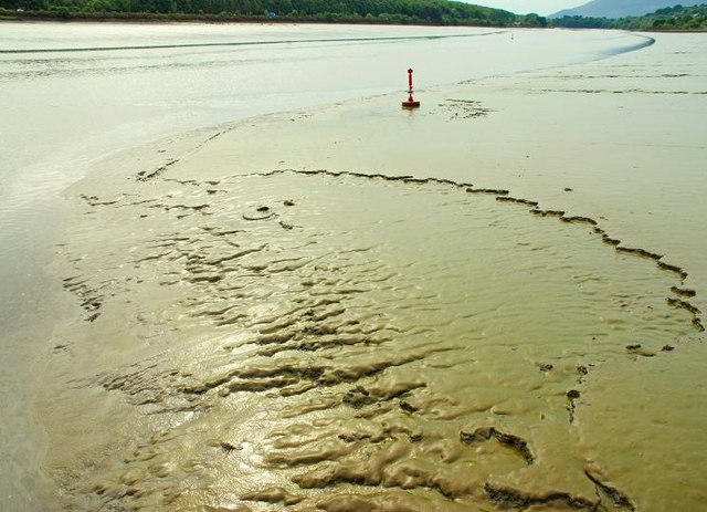
The Newry River at the Victoria Lock
See J1120 : The Victoria Lock near Newry (1). The Newry River, approaching the lock from the seaward side, at about 3¾ hours before high water (HW). Entrance to the lock is restricted to one hour before and after HW.
![Creative Commons Licence [Some Rights Reserved]](https://s1.geograph.org.uk/img/somerights20.gif)
|
· Find out How to reuse this image ·
Share:
|
|||||
| Start a discussion on J1120 | Suggest an update to this image | Contact the contributor | |||
Loading map... (JavaScript required)
- Grid Square
- J1120, 32 images (more nearby
 )
)
- Photographer
- Albert Bridge (find more nearby)
- Date Taken
- Thursday, 5 June, 2008 (more nearby)
- Submitted
- Friday, 6 June, 2008
- Category
- River (more nearby)
- Subject Location
-
Irish:
 J 112 201 [100m precision]
WGS84: 54:7.1010N 6:17.9632W - Camera Location
-
Irish: J 112 201
- View Direction
- Southeast (about 135 degrees)
Image classification(about):
Geograph
This page has been viewed about 66 times.
View this location:
KML (Google Earth) ·
Google Maps ·
Bing Maps ·
Geograph Coverage Map ·
More Links for this image
·
Bing Maps ·
Geograph Coverage Map ·
More Links for this image