O0758 : Church and graveyard at Garristown
taken 16 years ago, near to Garristown, Dublin, Ireland
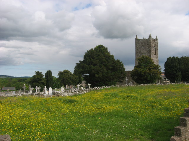
Church and graveyard at Garristown
Early-19th century church, now ruined, is on the site of an earlier building.
![Creative Commons Licence [Some Rights Reserved]](https://s1.geograph.org.uk/img/somerights20.gif)
|
· Find out How to reuse this image ·
Share:
|
|||||
| Start a discussion on O0758 | Suggest an update to this image | Contact the contributor | |||
Loading map... (JavaScript required)
- Grid Square
- O0758, 4 images (more nearby
 )
)
- Photographer
- Kieran Campbell (find more nearby)
- Date Taken
- Sunday, 15 June, 2008 (more nearby)
- Submitted
- Monday, 16 June, 2008
- Category
- Church (ruined) (more nearby)
- Subject Location
-
Irish:
 O 07083 58788 [1m precision]
WGS84: 53:34.0952N 6:23.0667W - Camera Location
-
Irish: O 07038 58813
- View Direction
- East-southeast (about 112 degrees)
Image classification(about):
Geograph
This page has been viewed about 95 times.
View this location:
KML (Google Earth) ·
Google Maps ·
Bing Maps ·
Geograph Coverage Map ·
More Links for this image
·
Bing Maps ·
Geograph Coverage Map ·
More Links for this image