C5434 : Housing development at Black Point
taken 16 years ago, near to Redcastle, Co Donegal, Ireland
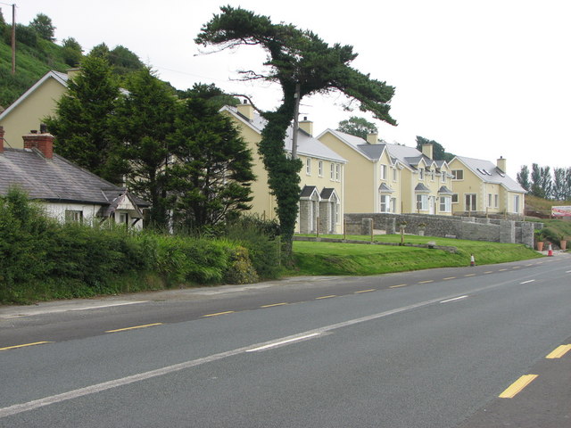
Housing development at Black Point
New houses overlooking Black Point and L.Foyle along the side of the coast road.
![Creative Commons Licence [Some Rights Reserved]](https://s1.geograph.org.uk/img/somerights20.gif)
|
· Find out How to reuse this image ·
Share:
|
|||||
| Start a discussion on C5434 | Suggest an update to this image | Contact the contributor | |||
Loading map... (JavaScript required)
- Grid Square
- C5434, 6 images (more nearby
 )
)
- Photographer
- Willie Duffin (find more nearby)
- Date Taken
- Sunday, 6 July, 2008 (more nearby)
- Submitted
- Monday, 7 July, 2008
- Category
- Houses > Houses (more nearby)
- Subject Location
-
Irish:
 C 544 343 [100m precision]
WGS84: 55:9.1998N 7:8.7804W - Camera Location
-
Irish: C 543 342
- View Direction
- Northeast (about 45 degrees)
Image classification(about):
Geograph
This page has been viewed about 40 times.
View this location:
KML (Google Earth) ·
Google Maps ·
Bing Maps ·
Geograph Coverage Map ·
More Links for this image
·
Bing Maps ·
Geograph Coverage Map ·
More Links for this image