D0644 : Carrick-a-Rede
taken 19 years ago, near to Ballintoy, Co Antrim, Northern Ireland
This is 1 of 3 images, with title Carrick-a-Rede in this square
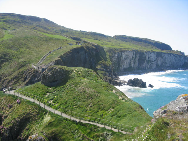
Carrick-a-Rede
This photo is taken from on the island, after crossing the famous rope bridge. The bridge is obscured behind the knoll in the middle-ground. But the access paths are clearly shown, both on the island and the mainland in the background.
![Creative Commons Licence [Some Rights Reserved]](https://s1.geograph.org.uk/img/somerights20.gif)
|
· Find out How to reuse this image ·
Share:
|
|||||
| Start a discussion on D0644 | Suggest an update to this image | Contact the contributor | |||
Loading map... (JavaScript required)
- Grid Square
- D0644, 98 images (more nearby
 )
)
- Photographer
- Ron Goodhew (find more nearby)
- Date Taken
- Monday, 16 May, 2005 (more nearby)
- Submitted
- Sunday, 4 December, 2005
- Category
- Bridge (more nearby)
- Subject Location
-
Irish:
 D 06 44 [1000m precision]
WGS84: 55:14.1609N 6:19.6005W
Image classification(about):
Geograph (Third Visitor for D0644)
This page has been viewed about 144 times.
View this location:
KML (Google Earth) ·
Google Maps ·
Bing Maps ·
Geograph Coverage Map ·
More Links for this image
·
Bing Maps ·
Geograph Coverage Map ·
More Links for this image