C0235 : Road at Casey Glebe near Dunfanaghy
taken 16 years ago, near to Dunfanaghy, Co Donegal, Ireland
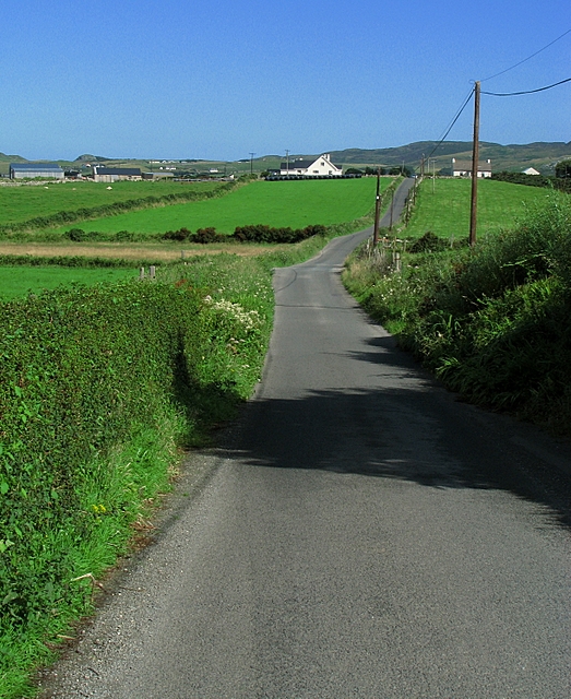
Road at Casey Glebe near Dunfanaghy
Note the Google maps here are useless. Please refer to OSI Discovery Series Sheet 2 from which all accurate grid references have been made.
Road runs towards Dunfanaghy, just over the next hill.
Road runs towards Dunfanaghy, just over the next hill.
![Creative Commons Licence [Some Rights Reserved]](https://s1.geograph.org.uk/img/somerights20.gif)
|
· Find out How to reuse this image ·
Share:
|
|||||
| Start a discussion on C0235 | Suggest an update to this image | Contact the contributor | |||
Loading map... (JavaScript required)
- Grid Square
- C0235, 2 images (more nearby
 )
)
- Photographer
- Rossographer (find more nearby)
- Date Taken
- Saturday, 26 July, 2008 (more nearby)
- Submitted
- Tuesday, 29 July, 2008
- Category
- Road > Road (more nearby)
- Subject Location
-
Irish:
 C 020 358 [100m precision]
WGS84: 55:10.1767N 7:58.1622W - Camera Location
-
Irish: C 020 356
- View Direction
- NORTH (about 0 degrees)
This page has been viewed about 106 times.
View this location:
KML (Google Earth) ·
Google Maps ·
Bing Maps ·
Geograph Coverage Map ·
More Links for this image
·
Bing Maps ·
Geograph Coverage Map ·
More Links for this image