M0780 : Moorland at Aille
taken 16 years ago, near to Killavally, Co Mayo, Ireland
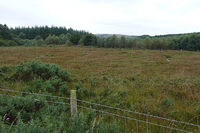
Moorland at Aille
The square is mainly moorland and planted forest, with two small loughs.
![Creative Commons Licence [Some Rights Reserved]](https://s1.geograph.org.uk/img/somerights20.gif)
|
· Find out How to reuse this image ·
Share:
|
|||||
| Start a discussion on M0780 | Suggest an update to this image | Contact the contributor | |||
Loading map... (JavaScript required)
- Grid Square
- M0780, 2 images (more nearby
 )
)
- Photographer
- Graham Horn (find more nearby)
- Date Taken
- Saturday, 13 September, 2008 (more nearby)
- Submitted
- Friday, 19 September, 2008
- Category
- Moorland / woodland boundary (more nearby)
- Subject Location
-
Irish:
 M 078 801 [100m precision]
WGS84: 53:45.7660N 9:23.8918W - Camera Location
-
Irish: M 079 801
- View Direction
- West-southwest (about 247 degrees)
This page has been viewed about 27 times.
View this location:
KML (Google Earth) ·
Google Maps ·
Bing Maps ·
Geograph Coverage Map ·
More Links for this image
·
Bing Maps ·
Geograph Coverage Map ·
More Links for this image