Lowestoft to Great Yarmouth Railway line
![Creative Commons Licence [Some Rights Reserved]](https://s1.geograph.org.uk/img/somerights20.gif)
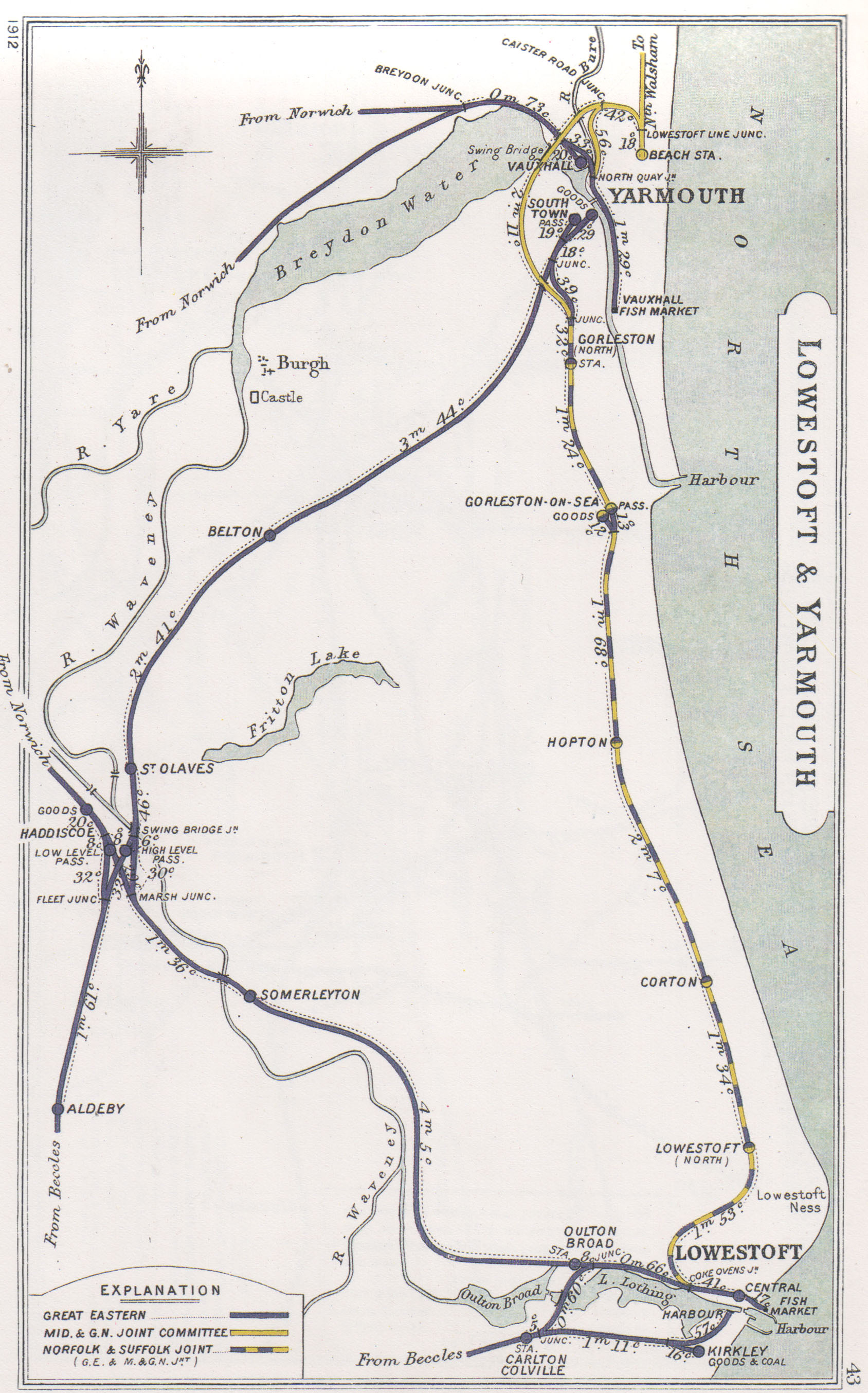
The Great Yarmouth to Lowestoft Railway
The Great YarmouthLowestoft line (as it is officially known) linked the coastal towns of Great Yarmouth, Gorleston-on-Sea and Lowestoft.
It opened on 13 July 1903 as the first direct railway link between the two towns and was constructed jointly, by the Great Eastern Railway and the Midland and Great Northern Railway at considerable cost. The scheme entailed the construction of three viaducts: Breydon Viaduct over Breydon Water, a smaller viaduct across the River Bure and the Vauxhall Viaduct across the GER's East Suffolk line.
However the novelty was short lived and competition from buses and trams took the lions share of passengers.
Commercial, mainly fish traffic was carried in large quantities until the 1930s when the industry fell into decline. In 1953, when major repairs were made to the Breydon Viaduct creating temporary diversions.
After the Midland and Great Northern and YarmouthBeccles line closed to passengers in 1959, the Great YarmouthLowestoft line was upgraded to accommodate the diverted traffic, but after services were switched to Yarmouth Vauxhall in 1962, it became single track and the stations were un-staffed halts. With only a local service running between vandalised stations, the decision was taken to close the route on 4 May 1970 in favour of bus services which were judged adequate for most of the year.
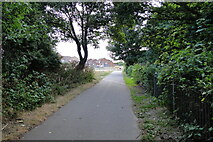
During the intervening years the track has been built-over, along much of its length especially in the towns and villages. Railway have been turned into four lane roads creating a bypass for Gorleston and Great Yarmouth along which residential, retail and industrial estates have been constructed.
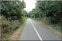
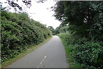
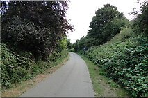
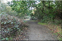
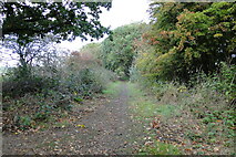
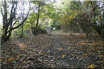
But for over most of its length it is accessible to a limited extent.
n.b. The above was respectfully borrowed from Wikipedia Link
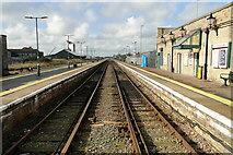
This journey begins at Lowestoft Railway station; marked by the yellow - grey dashed line in the link below.
Link
Lowestoft to Gorleston Station
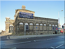
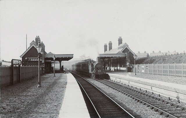
Lowestoft Railway Station from the outside.
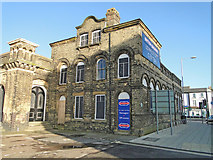
Lowestoft Railway Station from the outside.
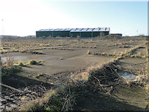
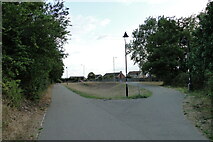
A left turnout at Coke Ovens Junction cuts across this piece of wasteland.
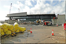
Now beneath the new bridge under construction
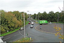
The track crossed here long before this road existed -
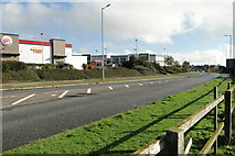
Across what is now the North Quay retail park entrance
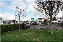
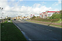
and on into what is now Barnard's Way
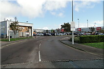
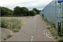
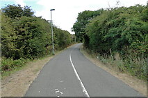
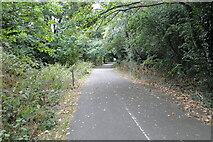
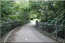
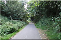
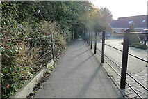
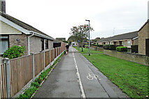
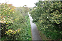
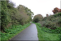
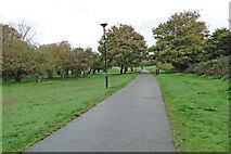
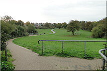
The track from here is now the GER Linear Park as far as the A47 near the High School.

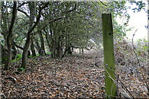
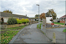
The starting post. A memorial to the former railway line.
Normanston Road bridge coming into sight.
Normanston Road Bridge (#2420).
- and into a clearing diverting around the scout headquarters
Veering off the track momentarily until the bridge.
Rotterdam Road Bridge (2421).
]
The path is diverted around a stream.
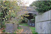
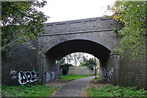
Church Road Bridge (2422).
St Margaret's Road Bridge (2423).
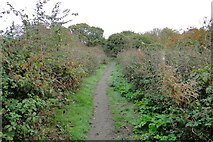
starting up an incline from here.
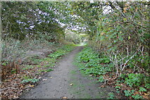
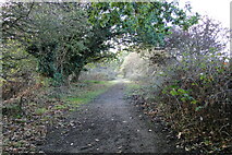
continuing uphill into what was a cutting.
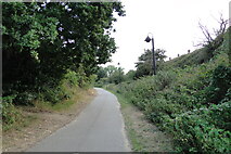
lamps light the way at night
approaching another bridge which has long gone.
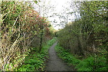
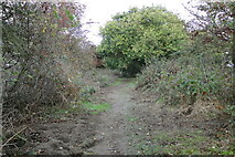
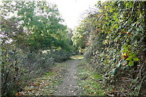
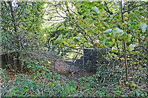
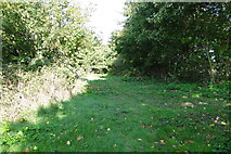
A section of the old cutting still remains.
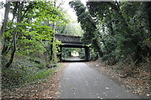
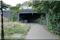
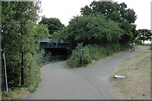
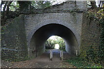
and under the old A12 now the A47 (bridge #2424).
Link
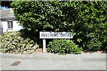
Beeching Drive approaching on the former the station footpath.
the station location from the opposite platform.
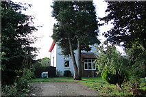
The former location of the Lowestoft North Railway station looking south.
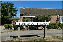
Stephenson's Walk - the location of the Lowestoft bound station platform.
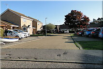
Stephenson's Walk - the location of the former goods yard and siding.
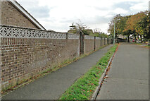
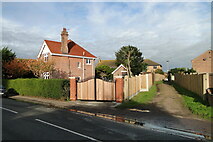
Harrington Avenue, Gunton. The line was the other side of the wall.
The former crossing at Hubbard's Loke.
View across the former Hubbard's Loke crossing.
Footpath to the Pleasurewood bridge following the track-bed.
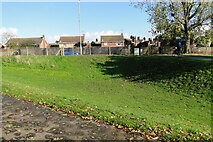
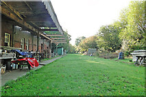
Past the sports field to the east of the track.
Tree on the track.
Past the Pitch and Put.
The embankment starts here and continues to beyond Hopton.
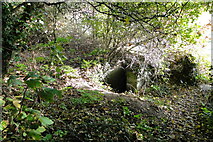
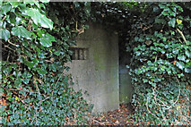
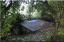
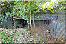
Another WW2 pillbox added protection in case of invasion.
First sight of the bridge ahead.
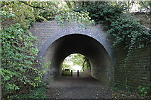
The bridge looking east.
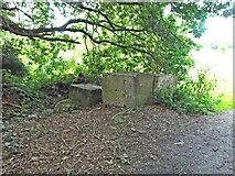
More tank trap blocks are on the top of the bridge ready to block the line.
Moving north of Pleasurewood Hills amusement Park to Corton Long Lane
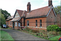
The former station platform, trackside.
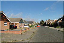
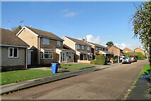
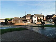
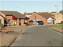
the bungalows on Wheatacre Drive were built on the track-bed.
A view south towards the station.
View north from Manor Park Road footpath.
South from the water treatment area.
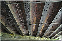
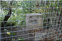
Stirrups Lane bridge (#2430).
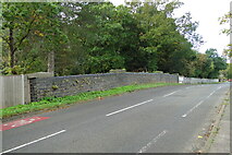
The north parapet as seen from the road.
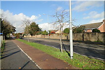
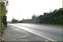
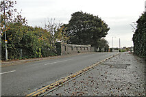
Parallel with Coast Road (looking south).
Parallel with Coast Road (looking north).
The trains passed under Longfulans Lane.
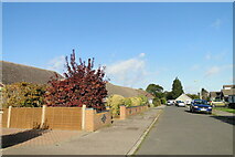
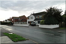
Hopton village
Here was the bridge over Station Road looking south.
Here was the bridge over Station Road looking north.
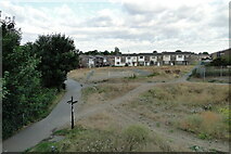
Site of the former station.
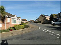
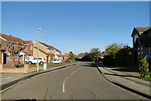
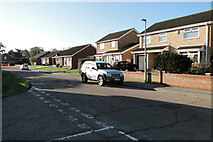
Potters Drive and back out into the countryside.
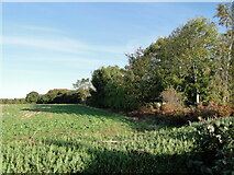
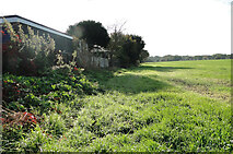
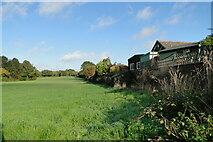
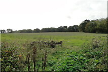
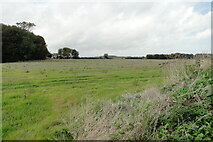
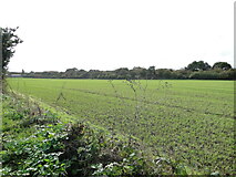
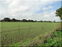
Continuing to Gorleston over farmland and the Golf course
A glimpse of the line between the trees.
Embankment and bridge over links Road.
On to Gorleston Links Halt.
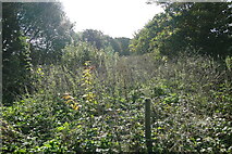
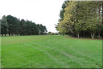
On the route of the embankment.
Gorleston Links Halt would have been on a high embankment.
The bridge from the Yarmouth side.
500 yards to Gorleston Station.
Link
[image id=7338714 text= looking at the station from the south on the same level
[image id=7338718 text= and from Victoria Road at the station roof level
( Page 1 2 next >> )