Geo-Trips :: Hertfordshire to Ipswich
Ipswich
A drive from Flint Cross, Sun, 22 May 2022 by David Howard
Part of my seasonal operations once the clocks go forward is to cover patches on my map I haven't been to, based on how long it takes to get there before it gets dark, as the usual plan is taking photos there and back, often using different routes to double my coverage.
I had bypassed Ipswich before but hadn't been into it with a camera, so used the route from Royston east to also cover part of the route beyond Sudbury, although a left turn was missed and got to Hadleigh cross country, and the route through Ilford is diabolical at almost any time so try and avoid it. It was a nice easy run, and didn't plan any route within Ipswich itself, but just went to one edge in Westerfield, then returned to the A12 using the signposts so I didn't get too lost. It's no problem using the A12 at night, and as it was late by then was happy to go back what becomes the quick way after about 8pm. It's a route I've known all my life as my grandparents lived off the A12 in Ilford so used it regularly.
Click the blue circles to see a photograph taken from that spot and read further information about the location. The blue lines indicate the direction of view. There is also a slideshow of this trip. ( )
↓ Scroll down here ↓
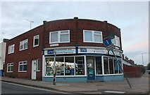
CPW Locksmiths on Bond Street, Ipswich
Park Road, Ipswich
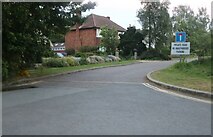
At the junction of Henley Road
Larchcroft Road, Ipswich
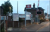
Westerfield Station
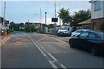
Westerfield Road level crossing
Westerfield Business Centre
It looks a lot more like a farm to me.
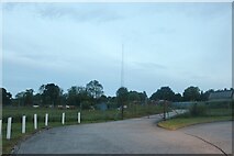
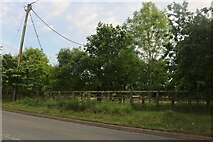
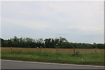
Field and antenna by Westerfield Road
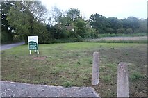
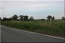
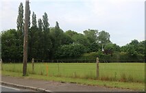
Grassland by Westerfield Road
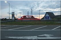
Pizza Hut on London Road, Ipswich
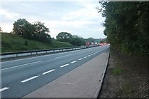
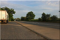
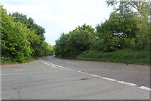
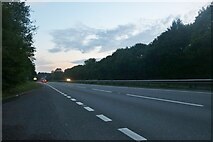
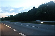
The A12, Belstead
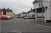
London Road, Ipswich
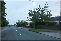
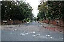
Westerfield Road, Ipswich

Yarmouth Road, Ipswich
The River Orwell is behind the trees.
London Road, Ipswich
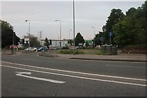
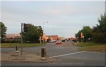
Roundabout on Hurdle Makers Hill west of Ipswich
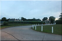
Park by Hurdle Makers Hill, Ipswich
Ipswich Veterinary Centre on Scrivener Road
London Road, Ipswich
Looking towards Ranelagh Road
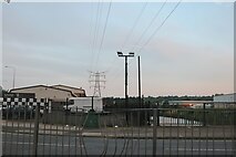
Pylon by the River Orwell, Ipswich
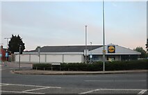
Lidl on London Road, Ipswich
Handford Road, Ipswich
Looking towards the council building.
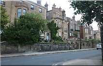
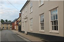
Buildings on Woodbridge Road, Ipswich
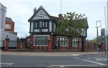
The Mulberry Tree on Woodbridge Road, Ipswich
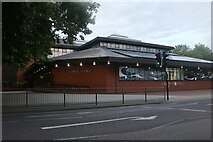
Crown Pools on Crown Street, Ipswich
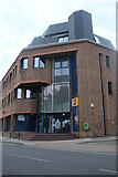
Offices on Crown Street, Ipswich
Fonnerau Road, Ipswich
Elsmere Road, Ipswich
The Avenue, Ipswich
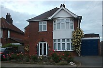
House on Woodstone Avenue, Ipswich
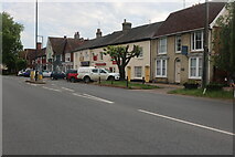
Henley Road, Ipswich
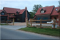
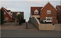
New houses on Henley Road
The one on the left has just been finished and occupied, the other isn't quite done.
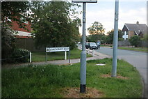
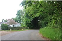
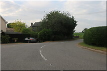
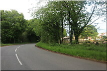
Lower Road, Westerfield
Westerfield Road at the junction of Lower Road
Lower Road, Westerfield
Food Plus on Chevalier Street, Ipswich
Terraced houses on Chevalier Street, Ipswich
British Red Cross on Chevalier Street, Ipswich
Scrivener Drive from London Road Ipswich
London Road, Ipswich
London Road, Ipswich
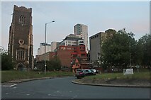
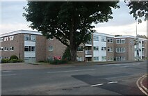
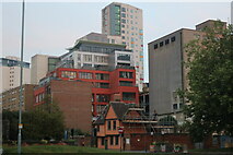
Tower blocks in the centre of Ipswich
Running along Key Street
Tower blocks on Key Street, Ipswich
Having been to a number of American cities I can say this view is fairly similar.
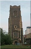
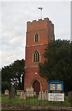
St Peter's Church, Ipswich
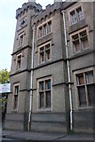
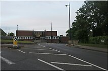
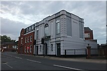
East Suffolk County Council building, Ipswich
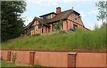
This is the side view of a convincing castle but currently empty and boarded up.
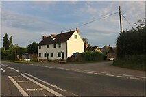
Bend on George Street, Hintlesham
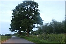
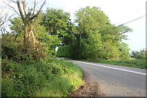
Thorpe's Hill, Hintlesham
Raven Way, Hadleigh
Field by Benton Street, Hadleigh
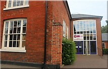
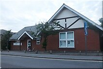
Hadleigh Library on Duke Street
Duke Street, Hadleigh
Looking towards Benton Street
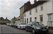
High Street, Hadleigh
Hadleigh United FC by Layham Road
Spooners Lane, Hadleigh
From Angel Street
New houses on Lady Lane, Hadleigh
These were built in around 2016
Field by Lady Lane, Hintlesham
Lady Lane. Hintlesham
St Andrew's Church, Layham

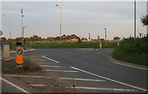
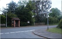
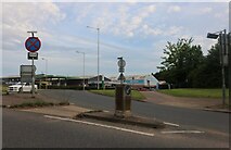
Roundabout on the Haverhill Bypass
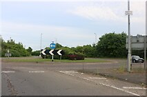
Roundabout on the Haverhill Bypass
Roundabout on the Haverhill Bypass
Amazing roundabout on the Haverhill Bypass
It says it is anyway.
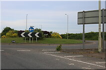
Roundabout at the end of the Haverhill Bypass
Heading to Sturmer over the other side.
Snow Hill, Clare
Clare Road, Chilton Street
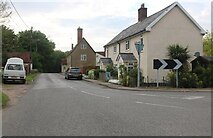
Sudbury Road, Stoke By Nayland
Polstead Street, Stoke by Nayland
Mill Street, Polstead
Pink house on Polstead Hill
Polstead Hill
Junction on Rockalls Road, Polstead
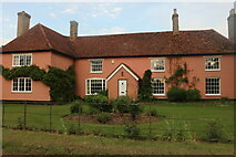
Large cottage on Stoke Road between Polstead and Layham
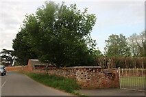
Becketts Lane near Layham
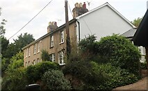
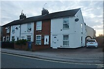
Terrace of houses on Stoke Road, Layham
Stoke Road, Layham
You don't often see a building ending in a wall along a road.
Church Street, Clare
Snow Hill, Chilton Street
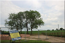
Building site on Snow Hill, Chilton Street
A new house is going up here.
Nethergate Hill, Clare
Hall Street, Long Melford
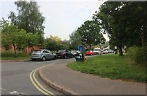
Roundabout on Springlands Way, Sudbury
Looking towards the Ford dealership.
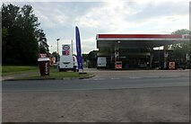
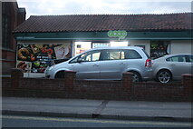
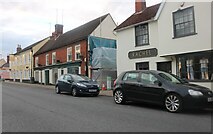
Esso petrol station on Northern Road, Sudbury
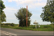
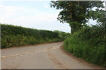
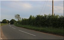
Sudbury Road, Newton
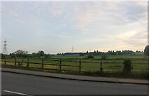
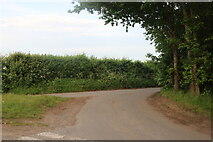
Woods by Sudbury Road, Newton
Parking area on Further Street, Assington
Further Street, Assington
Further Street, Assington
Stoke Road at the junction of Nayland Road
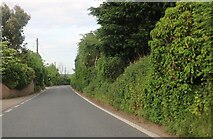
Stoke Road, Leavenheath
Sudbury Road, Stoke By Nayland
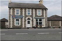
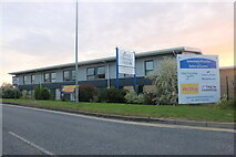
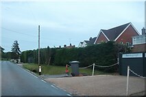
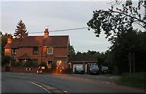
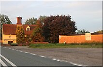
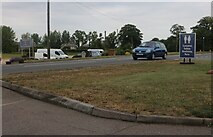
The Coach House Hotel, Flint Cross
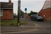
Petrol station entrance on the A505, Flint Cross
Welch's Transport, Duxford
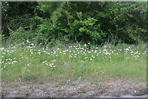
Daisies by the A505, Duxford
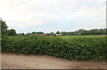
Grassland by the A505, Duxford
Field by the A505, Duxford
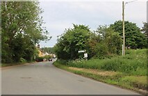
Field by Mill Road, Baythorne End
The trees on the left follow the River Stour, which marks the Essex border into Suffolk.
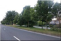
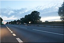
The A12, Capel St Mary
I've been here before. https://www.geograph.org.uk/photo/5377066
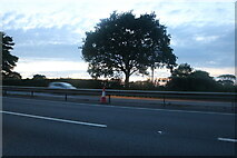
The A12, Capel St Mary
Layby on the A12, East Bergholt
The A12, East Bergholt
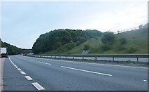
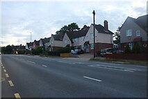
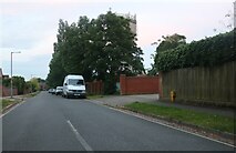
The A12, Belstead
All images © David Howard and available under a
Creative Commons licence  .
.