Geo-Trips :: Aldershot's Ocean, Sip 2
St Michael's School
A walk from Park Road, Thu, 8 Dec 2022 by Basher Eyre
| preceding leg | This trip is part of a series. |
The English National Curriculum requires children in Key Stage Two (aged 7 to 11 years) to study their local area. This should be the streets around the school, where the children actually live. This may include a church, a shop, a park or a set of traffic lights. Or none of the above. It may seem small to us, but to a child it will be much bigger. This is walk two, a round trip from the junction of Church and Park Roads
Click the blue circles to see a photograph taken from that spot and read further information about the location. The blue lines indicate the direction of view. There is also a slideshow of this trip. ( )
↓ Scroll down here ↓
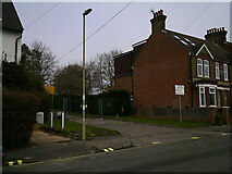
Approaching the junction of Brighton Road and Church Lane East
Bus stop in Church Road
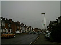
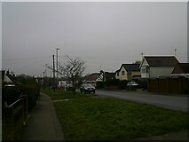
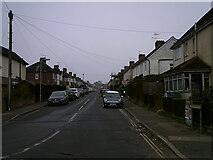
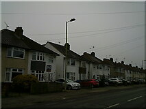
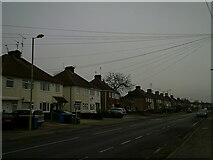
Houses in Church Road
Looking across Church Road towards Royale Close
Looking north along Church Road
Looking from Church Road into Park Road
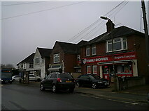
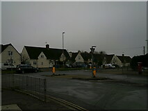
Shops at the southern end of Church Road
The Co-Op, junction of Church and Lower Farnham Roads
Looking from Church Road into Lower Farnham Road
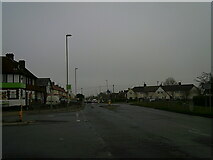
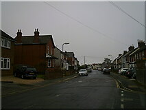
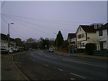
Looking east-northeast along Lower Farnham Road
Looking south-west along Lower Farnham Road
A wintry scene in Lower Farnham Road
Approaching the junction of Gloucester and Lower Farnham Road
Looking from Lower Farnham Road into Gloucester Road
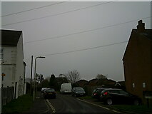
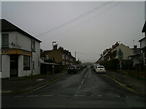
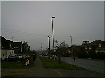
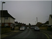
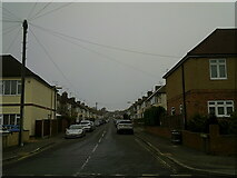
Mid section of Lower Farnham Road
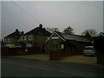
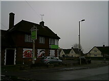
Church hall, Lower Farnham Road
This is for Park Community Church
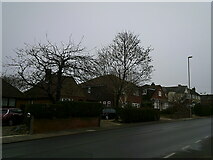
Wide verges in Lower Farnham Road
Which often means it was originally built with extra capacity in mind, should it... more
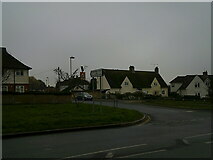
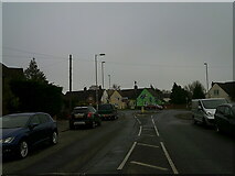
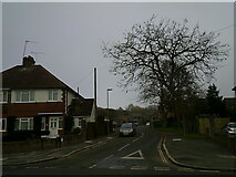
Approaching the crossroads of Lower Farnham Lane with Morland Road and Boxall's Lane
Looking from Lower Farnham Road into Morland Road
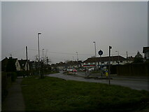
Miniroundabout in Lower Farnham Lane
Looking from Morland Road, across to Boxall's Lane
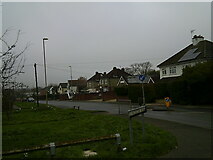
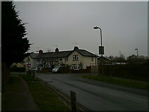
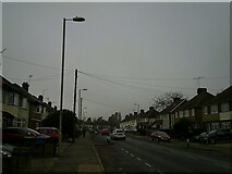
A gloomy lunchtime in Lower Farnham Road
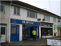
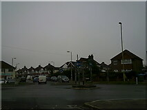
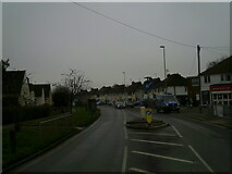
Puntastic shops in Lower Farnham Road
Looking from Boxall's Lane towards Lower Farnham Road
Looking westwards in Boxall's Lane
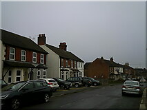
Houses in Boxall's Lane
Looking from Boxall's Lane into Coronation Road
Lampposts in Boxall's Lane
Looking from Boxall's Lane into Old Brickfield Road
Telegraph wires in Boxall's Lane
Slight bend in Boxall's Lane
Looking from Boxall's Lane into Oast Lane
Parked cars in Boxall's Lane
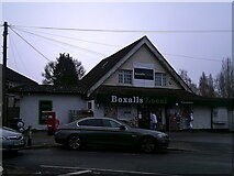
Convenience store in Boxall's Lane
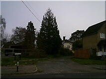
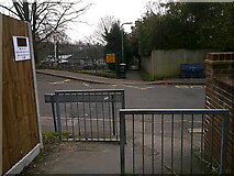
Entrance to Brickfields Park in Boxall's Lane
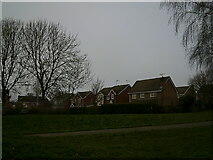
Houses in Laurel Gardens seen from Brickfields Park
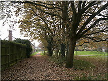
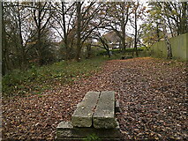
Path within Brickfields Park
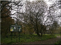
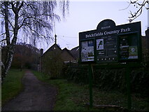
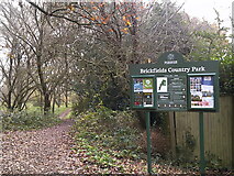
Information board within Brickfields Park
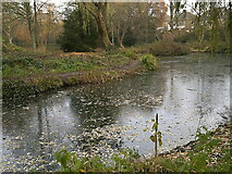
Icy pond in Brickfields Park
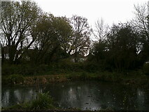
Looking across a pond towards houses in Jubilee Road
Boundary fence between Brickfields Park and Century Lodge
Leaves in Brickfields Park
Northern entrance to Brickfields Park
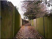
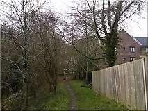
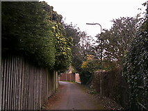
Path between Centenary Lodge and Highfields Gardens
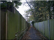
Path between Southmead Road and Centenary Lodge
Approaching a path junction behind Croft Road
Path and road junction in Evelyn Avenue
Looking west-southwest in Evelyn Avenue
Blackman Gardens: December 2022
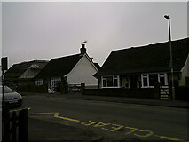
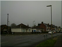
Bungalows in Park Road
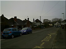
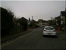
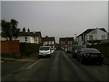
Looking westwards in Park Road
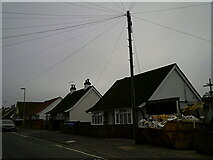
Telegraph pole in Park Road
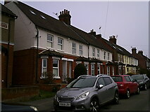
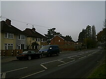
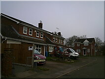
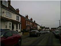
Terraced houses in Park Road
Entrance to St Michael's Infant School in Park Road
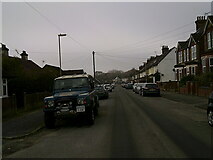
Landrover Defender in Park Road
A parking space in Park Road
Why is it I always see a parking space, right next to where I work, when I have... more
Right, tea break's over- back on your heads
Park Road: journey's end. As I turn the corner it will be back to work and... more
All images © Basher Eyre and available under a
Creative Commons licence  .
.