2008
NC3208 : Forest track
taken 16 years ago, near to River Oykel [water Feature], Highland, Great Britain
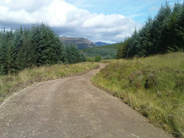
Forest track
Ben More estate
 Map © Crown Copyright")
TIP: Click the map for more Large scale mapping
- Grid Square
- NC3208 (more nearby 🔍)
- Photographer
- alasdair gordon (more nearby)
- Date Taken
- Wednesday, 17 September, 2008 (more nearby)
- Submitted
- Thursday, 23 October, 2008
- Subject Location
-
OSGB36:
 NC 321 086 [100m precision]
WGS84: 58:2.0935N 4:50.6315W - Camera Location
-
OSGB36: NC 326 082
- View Direction
- Northwest (about 315 degrees)