1970
NZ2967 : Wiltshire Gardens Maisonettes
taken 54 years ago, near to Wallsend, North Tyneside, England
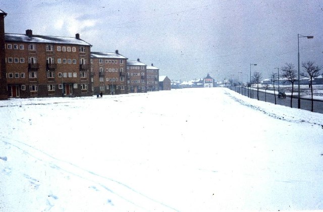
Wiltshire Gardens Maisonettes
A large area of the green in front of these flats was used to widen the A1058. The flats were knocked down within the last decade. Were the winters really worse then?
 Map © Crown Copyright")
TIP: Click the map for more Large scale mapping
- Grid Square
- NZ2967, 32 images (more nearby 🔍)
- Photographer
- Christine Westerback (more nearby)
- Date Taken
- 1970 (more nearby)
- Submitted
- Saturday, 7 January, 2006
- Subject Location
-
OSGB36:
 NZ 29 67 [1000m precision]
WGS84: 55:0.0722N 1:32.4220W - Camera Location
-
OSGB36: NZ 290 672