2006
SD9120 : Summit of Rough Hill
taken 18 years ago, near to Shawforth, Lancashire, England
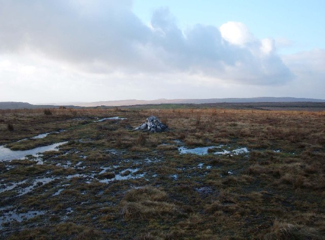
Summit of Rough Hill
The small cairn, a feature of the hill tops hereabouts, crowns the summit of Rough Hill at 431 metres. View looking SW, the distinctive shape of Knowl Moor is just visible centre shot on the skyline.
 Map © Crown Copyright")
TIP: Click the map for more Large scale mapping
- Grid Square
- SD9120, 17 images (more nearby 🔍)
- Photographer
- michael ely (more nearby)
- Date Taken
- Wednesday, 11 January, 2006 (more nearby)
- Submitted
- Wednesday, 11 January, 2006
- Subject Location
-
OSGB36:
 SD 912 203 [100m precision]
WGS84: 53:40.7453N 2:8.0820W