2008
SO6513 : Mousel Lane, Cinderford, Forest of Dean
taken 15 years ago, near to Cinderford, Gloucestershire, England
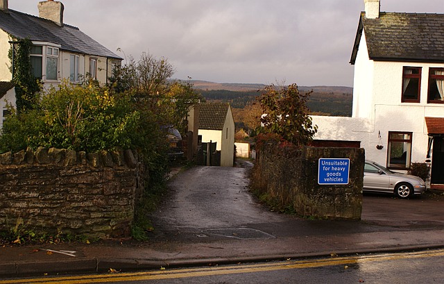
Mousel Lane, Cinderford, Forest of Dean
Darting off from Belle Vue Road in Cinderford is this little, somewhat curvaceous, lane. Surprisingly there is a closely packed string of dwellings on both sides of most of the lane as it tumbles down to merge with Woodside Street and Woodside Avenue into the junction of Church Road and Commercial Street.
 Map © Crown Copyright")
TIP: Click the map for more Large scale mapping
- Grid Square
- SO6513, 112 images (more nearby 🔍)
- Photographer
- Eric Soons (more nearby)
- Date Taken
- Tuesday, 11 November, 2008 (more nearby)
- Submitted
- Tuesday, 11 November, 2008
- Subject Location
-
OSGB36:
 SO 659 135 [100m precision]
WGS84: 51:49.1609N 2:29.7585W - Camera Location
-
OSGB36: SO 660 135
- View Direction
- West-southwest (about 247 degrees)