J3067 : The Lagan towpath near the Drum Bridge
taken 15 years ago, near to Drumbeg, Co Down, Northern Ireland
This is 1 of 2 images, with title The Lagan towpath near the Drum Bridge in this square
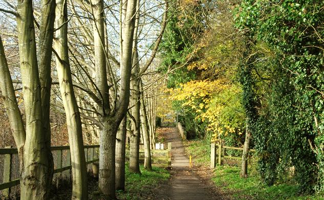
The Lagan towpath near the Drum Bridge
The Lagan towpath (looking towards Lisburn) as it approaches the Upper Malone Road J3067 : The Upper Malone Road at Drumbeg near the Drum Bridge J3067 : The Drum Bridge, Drumbeg.
![Creative Commons Licence [Some Rights Reserved]](https://s1.geograph.org.uk/img/somerights20.gif)
|
· Find out How to reuse this image ·
Share:
|
|||||
| Start a discussion on J3067 | Suggest an update to this image | Contact the contributor | |||
Loading map... (JavaScript required)
- Grid Square
- J3067, 257 images (more nearby
 )
)
- Photographer
- Albert Bridge (find more nearby)
- Date Taken
- Sunday, 16 November, 2008 (more nearby)
- Submitted
- Sunday, 16 November, 2008
- Category
- Towpath (more nearby)
- Subject Location
-
Irish:
 J 306 671 [100m precision]
WGS84: 54:32.1671N 5:58.9385W - Camera Location
-
Irish: J 306 671
- View Direction
- West-northwest (about 292 degrees)
Image classification(about):
Geograph
This page has been viewed about 246 times.
View this location:
KML (Google Earth) ·
Google Maps ·
Bing Maps ·
Geograph Coverage Map ·
More Links for this image
·
Bing Maps ·
Geograph Coverage Map ·
More Links for this image