2006
SS6146 : Farmland near Stony Cross
taken 18 years ago, near to Kentisbury, Devon, England
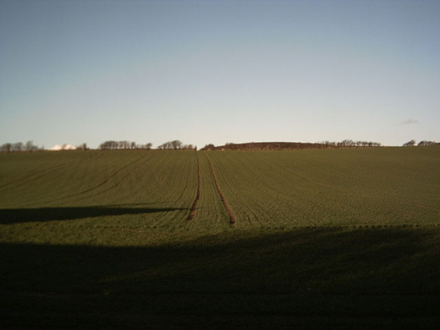
Farmland near Stony Cross
With Holdstone Down just visible on the skyline.
 Map © Crown Copyright")
TIP: Click the map for more Large scale mapping
- Grid Square
- SS6146, 27 images (more nearby 🔍)
- Photographer
- Grant Sherman (more nearby)
- Date Taken
- Saturday, 14 January, 2006 (more nearby)
- Submitted
- Sunday, 15 January, 2006
- Subject Location
-
OSGB36:
 SS 615 462 [100m precision]
WGS84: 51:11.8909N 3:59.0192W