J3374 : College Court, Belfast
taken 15 years ago, near to Belfast, Co Antrim, Northern Ireland
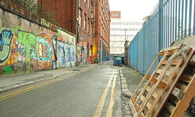
A long-term vacant site, currently (May 2015) used as a public car park, between College Avenue, College Street and College Court which has the following planning permission: Z/2013/1063/F 78 College Avenue Belfast BT1 6BU Ten storey hotel comprising of 250 bedrooms, meeting rooms with bar and restaurant to ground floor. Nine storey open plan office building with retail on ground floor with underground car parking. 13/02/2015.
The following is part of a press release dated 28 May 2015 issued by a development company: McAleer & Rushe has underlined its position as a leading player in the UKs student housing market with its announcement of two major student housing schemes delivering 1280 rooms for central Belfast.
Planning applications have been submitted to develop an 804-room scheme in a 240,000 sq ft building on College Avenue, and a 476-room scheme, in a 135,000 sq ft building, on McClintock Street, on the site of the former 10-storey Belfast Metropolitan College building, which is set to be demolished to make way for the new scheme.
The photographs submitted by me appear as a matter of neutral geographical and historical record only. I have no connection with the developer and express no opinion about any proposals for the site.
![Creative Commons Licence [Some Rights Reserved]](https://s1.geograph.org.uk/img/somerights20.gif)
|
· Find out How to reuse this image ·
Share:
|
|||||
|
There is 1 post in a
discussion on J3374 (preview on the left) |
Suggest an update to this image | Contact the contributor | |||
- Grid Square
- J3374, 3632 images (more nearby
 )
)
- Photographer
- Albert Bridge (find more nearby)
- Date Taken
- Sunday, 7 December, 2008 (more nearby)
- Submitted
- Sunday, 7 December, 2008
- Category
- Street (more nearby)
- Subject Location
-
Irish:
 J 335 741 [100m precision]
WGS84: 54:35.8862N 5:56.0248W - Camera Location
-
Irish: J 335 742
- View Direction
- SOUTH (about 180 degrees)