C3705 : Grangefoyle Road
taken 18 years ago, 5 km N of Ballymagorry, Co Tyrone, Northern Ireland
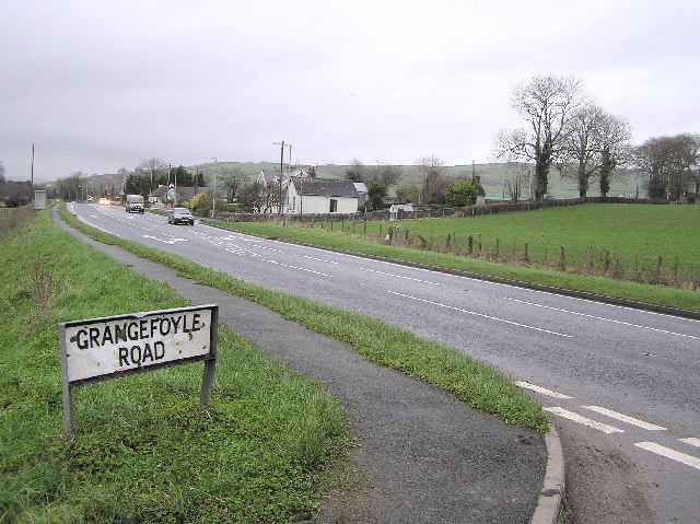
Grangefoyle Road
It is in the Magherareagh District and joins the main road from Strabane to Derry / Londonderry
![Creative Commons Licence [Some Rights Reserved]](https://s1.geograph.org.uk/img/somerights20.gif)
|
· Find out How to reuse this image ·
Share:
|
|||||
| Start a discussion on C3705 | Suggest an update to this image | Contact the contributor | |||
Loading map... (JavaScript required)
- Grid Square
- C3705 (more nearby
 )
)
- Photographer
- Kenneth Allen (find more nearby)
- Date Taken
- Wednesday, 18 January, 2006 (more nearby)
- Submitted
- Thursday, 19 January, 2006
- Category
- Road Junction > Road junction (more nearby)
- Subject Location
-
Irish:
 C 371 059 [100m precision]
WGS84: 54:53.9638N 7:25.3484W - Camera Location
-
Irish: C 371 058
- View Direction
- NORTH (about 0 degrees)
This page has been viewed about 934 times.
View this location:
KML (Google Earth) ·
Google Maps ·
Bing Maps ·
Geograph Coverage Map ·
More Links for this image
·
Bing Maps ·
Geograph Coverage Map ·
More Links for this image