2005
SD2092 : Tarn Hill
taken 18 years ago, near to Ulpha, Cumbria, England
This is 1 of 3 images, with title Tarn Hill in this square
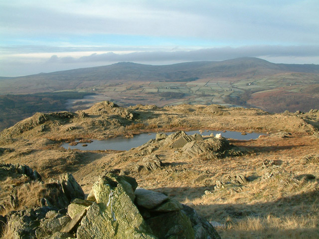
Tarn Hill
From summit of Tarn Hill, looking across the Duddon valley towards Kinmont Buck Barrow, Burn Moor and Whit Fell.
 Map © Crown Copyright")
TIP: Click the map for more Large scale mapping
- Grid Square
- SD2092, 20 images (more nearby 🔍)
- Photographer
- Stephen Dawson (more nearby)
- Date Taken
- Thursday, 29 December, 2005 (more nearby)
- Submitted
- Saturday, 21 January, 2006
- Subject Location
-
OSGB36:
 SD 20 92 [1000m precision]
WGS84: 54:19.3118N 3:13.4261W - Camera Location
-
OSGB36: SD 207 921