2008
ST0206 : Floodplain
taken 15 years ago, near to Cullompton, Devon, England
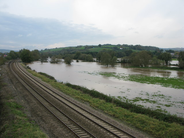
Floodplain
Common flood area adjoining social housing estate and rail line.
 Map © Crown Copyright")
TIP: Click the map for more Large scale mapping
- Grid Square
- ST0206, 107 images (more nearby 🔍)
- Photographer
- brian lee (more nearby)
- Date Taken
- Thursday, 30 October, 2008 (more nearby)
- Submitted
- Saturday, 27 December, 2008
- Subject Location
-
OSGB36:
 ST 024 063 [100m precision]
WGS84: 50:50.9154N 3:23.2573W - Camera Location
-
OSGB36: ST 025 066
- View Direction
- South-southwest (about 202 degrees)