2007
SD7916 : Converted Flats Barley Lea Mill
taken 16 years ago, near to Ramsbottom, Bury, England
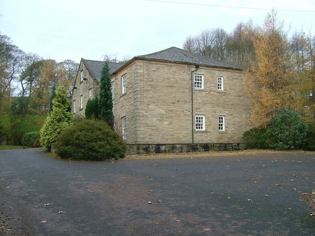
Converted Flats Barley Lea Mill
Converted Flats in Ramsbottom
 Map © Crown Copyright")
TIP: Click the map for more Large scale mapping
- Grid Square
- SD7916, 688 images (more nearby 🔍)
- Photographer
- David Walton (more nearby)
- Date Taken
- Wednesday, 14 November, 2007 (more nearby)
- Submitted
- Wednesday, 31 December, 2008
- Subject Location
-
OSGB36:
 SD 790 165 [100m precision]
WGS84: 53:38.7129N 2:19.0667W - Camera Location
-
OSGB36: SD 790 165
- View Direction
- SOUTH (about 180 degrees)