J4844 : Folly Lane, Downpatrick
taken 15 years ago, near to Downpatrick, Co Down, Northern Ireland
This is 1 of 2 images, with title Folly Lane, Downpatrick in this square
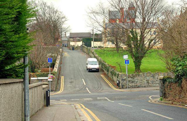
Folly Lane, Downpatrick
A narrow street running from St Patricks Drive, across St Patricks Avenue J4844 : St Patrick's Avenue, Downpatrick (middle) to Irish Street and Stream Street (background). It was officially stopped up last year. Folly seems to be a common street name in towns of medieval origin. I would welcome any thoughts on the origin or meaning of the name.
![Creative Commons Licence [Some Rights Reserved]](https://s1.geograph.org.uk/img/somerights20.gif)
|
· Find out How to reuse this image ·
Share:
|
|||||
| Start a discussion on J4844 | Suggest an update to this image | Contact the contributor | |||
Loading map... (JavaScript required)
- Grid Square
- J4844, 507 images (more nearby
 )
)
- Photographer
- Albert Bridge (find more nearby)
- Date Taken
- Friday, 2 January, 2009 (more nearby)
- Submitted
- Friday, 2 January, 2009
- Category
- Lane (more nearby)
- Subject Location
-
Irish:
 J 487 442 [100m precision]
WGS84: 54:19.5343N 5:42.8449W - Camera Location
-
Irish: J 486 442
- View Direction
- East-northeast (about 67 degrees)
Image classification(about):
Geograph
This page has been viewed about 72 times.
View this location:
KML (Google Earth) ·
Google Maps ·
Bing Maps ·
Geograph Coverage Map ·
More Links for this image
·
Bing Maps ·
Geograph Coverage Map ·
More Links for this image