J3486 : Knockagh Road
taken 15 years ago, near to Monkstown, Co Antrim, Northern Ireland
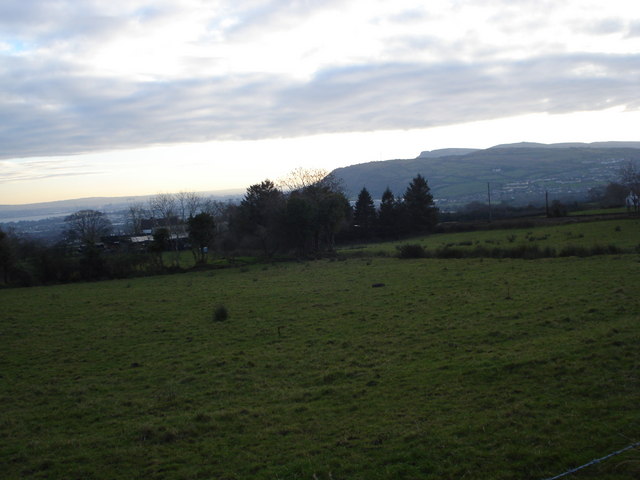
Knockagh Road
Fields on the Knockagh Road. Carmony Hill and Cavehill can be seen in the background.
![Creative Commons Licence [Some Rights Reserved]](https://s1.geograph.org.uk/img/somerights20.gif)
|
· Find out How to reuse this image ·
Share:
|
|||||
| Start a discussion on J3486 | Suggest an update to this image | Contact the contributor | |||
Loading map... (JavaScript required)
- Grid Square
- J3486, 2 images (more nearby
 )
)
- Photographer
- Albert Thompson (find more nearby)
- Date Taken
- Tuesday, 6 January, 2009 (more nearby)
- Submitted
- Tuesday, 6 January, 2009
- Category
- Fields > Fields (more nearby)
- Subject Location
-
Irish:
 J 344 860 [100m precision]
WGS84: 54:42.2551N 5:54.8912W - Camera Location
-
Irish: J 344 860
- View Direction
- Southeast (about 135 degrees)
This page has been viewed about 70 times.
View this location:
KML (Google Earth) ·
Google Maps ·
Bing Maps ·
Geograph Coverage Map ·
More Links for this image
·
Bing Maps ·
Geograph Coverage Map ·
More Links for this image