J3475 : Brougham Street, Belfast
taken 15 years ago, near to Belfast, Co Antrim, Northern Ireland
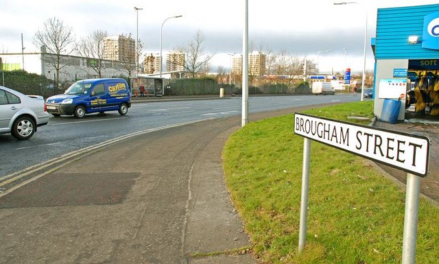
Brougham Street, Belfast
Another of Belfasts street to have been changed substantially by road widening. It runs from North Queen Street to York Street and was originally a street of terrace houses. Now part of a link to the harbour and M2.
![Creative Commons Licence [Some Rights Reserved]](https://s1.geograph.org.uk/img/somerights20.gif)
|
· Find out How to reuse this image ·
Share:
|
|||||
| Start a discussion on J3475 | Suggest an update to this image | Contact the contributor | |||
Loading map... (JavaScript required)
- Grid Square
- J3475, 773 images (more nearby
 )
)
- Photographer
- Albert Bridge (find more nearby)
- Date Taken
- Wednesday, 7 January, 2009 (more nearby)
- Submitted
- Wednesday, 7 January, 2009
- Category
- Street (more nearby)
- Subject Location
-
Irish:
 J 340 755 [100m precision]
WGS84: 54:36.6377N 5:55.5224W - Camera Location
-
Irish: J 342 755
- View Direction
- West-northwest (about 292 degrees)
Image classification(about):
Geograph
This page has been viewed about 230 times.
View this location:
KML (Google Earth) ·
Google Maps ·
Bing Maps ·
Geograph Coverage Map ·
More Links for this image
·
Bing Maps ·
Geograph Coverage Map ·
More Links for this image