2009
NO6376 : Summit of Brunt Hill
taken 15 years ago, near to Nether Thainston, Aberdeenshire, Scotland
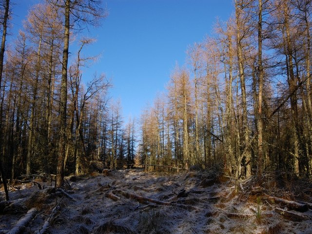
Summit of Brunt Hill
Summit of Brunt Hill in the larch woods taken from fire break.
 Map © Crown Copyright")
TIP: Click the map for more Large scale mapping
- Grid Square
- NO6376, 3 images (more nearby 🔍)
- Photographer
- Richard Holliday (more nearby)
- Date Taken
- Saturday, 24 January, 2009 (more nearby)
- Submitted
- Saturday, 24 January, 2009
- Subject Location
-
OSGB36:
 NO 631 769 [100m precision]
WGS84: 56:52.9421N 2:36.3686W - Camera Location
-
OSGB36: NO 631 769
- View Direction
- NORTH (about 0 degrees)